Loading...
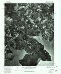
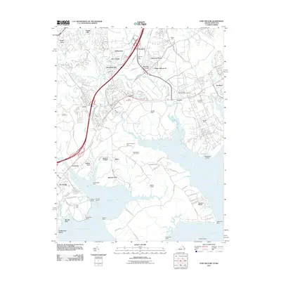
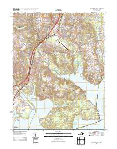
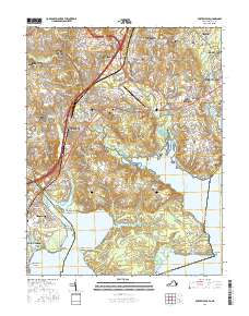
Loading map...1965 Map of Fort Belvoir
USGS Topo · Published 1971About this map
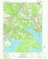
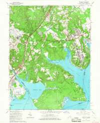
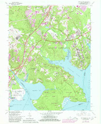
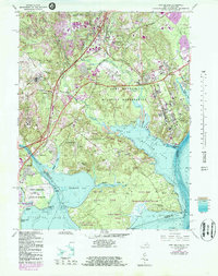
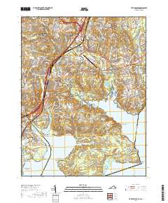
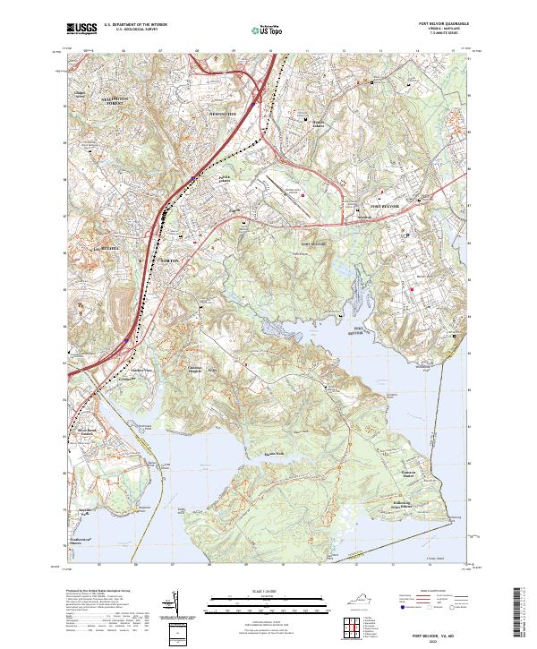
Fort Belvoir Military Reservation and the surrounding Potomac shoreline are documented here during a period of significant suburban expansion in Northern Virginia. The map details the complex geography of Mason Neck, showing the network of creeks like Pohick Creek and Accotink Creek that feed into Gunston Cove and Belmont Bay. Significant historical landmarks include Woodlawn Plantation and Gunston Hall, alongside long-established community centers such as Colchester and Accotink.
Find a feature on this map
95 named features on this map. Tap any name to fly to it.
Don’t see what you’re looking for? This feature index may not catch every label — zoom into the map to look around manually.
Map Details
Date Portrayed1965
Date Published1971
PublisherU.S. Geological Survey
Map TypeTopographic
Scale1:24,000
Physical Dimensions22.1 x 27 inches
Editions of this 1965 Fort Belvoir Map
4 editions found
Historical Maps of Lorton Through Time
7 maps found
Featured Locations
Source Details
SourceU.S. Geological Survey
CopyrightPublic Domain