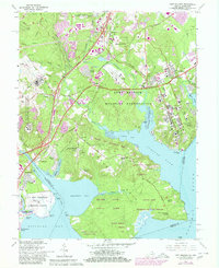
1965 Map of Fort Belvoir
USGS Topo · Published 1980About this map
Fort Belvoir Military Reservation dominates the center of this Virginia landscape, where military infrastructure and historic colonial estates meet along the shores of the Potomac River. The map details a complex transition from early tobacco-era plantations to mid-century suburban and military expansion. To the south, Gunston Hall Plantation and Woodlawn Plantation preserve the footprints of the region's 18th-century heritage, while nearby 1960s developments like Gunston Heights and Newington reflect the rapid growth of Fairfax County.
Find a feature on this map
89 named features on this map. Tap any name to fly to it.
Don’t see what you’re looking for? This feature index may not catch every label — zoom into the map to look around manually.
Map Details
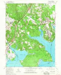
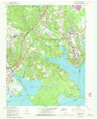
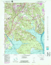
Editions of this 1965 Fort Belvoir Map
4 editions found
Other maps of this area

1890 · Mt. Vernon
USGS Topo · 1:125,000

1891 · Mt. Vernon
USGS Topo · 1:125,000

1894 · Mt. Vernon
USGS Topo · 1:125,000

1897 · Mt. Vernon
USGS Topo · 1:125,000

1900 · Washington
USGS Topo · 1:62,500

1913 · Indian Head
USGS Topo · 1:62,500

1915 · Fairfax
USGS Topo · 1:62,500

1923 · Indian Head
USGS Topo · 1:48,000

1925 · Indian Head
USGS Topo · 1:62,500

1927 · Quantico
USGS Topo · 1:62,500