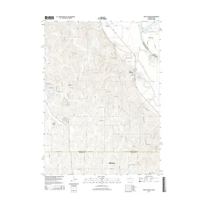
2014 Map of Fort Calhoun
USGS Topo · Published 2014About this map
Fort Calhoun and the surrounding river bluffs are detailed in this 2014 survey, highlighting the complex water management and transportation systems north of the Omaha city limits. The landscape is defined by the Missouri River and its associated features like Wilson Island and DeSoto Lake, which sit at the state line between Iowa and Nebraska. Local history is evident at the Pioneer Memorial Cem and the settlement of De Soto near the northern edge of the quadrangle. The map captures a mix of rural and developing residential terrain, with a dense network of reservoirs including Stratbucker Reservoir and Nixon Reservoir supporting the region. Significant infrastructure such as the Blair Municipal Airport and the route of Us-75 underscore the area's role as a vital corridor between established river towns and the growing metropolitan periphery.
Find a feature on this map
54 named features on this map. Tap any name to fly to it.
Don’t see what you’re looking for? This feature index may not catch every label — zoom into the map to look around manually.
Map Details
Editions of this 2014 Fort Calhoun Map
This is the sole edition of this map. No revisions or reprints were ever made.
Other maps of this area

1893 · Omaha
USGS Topo · 1:62,500

1893 · Fremont
USGS Topo · 1:125,000

1896 · Fremont
USGS Topo · 1:125,000

1954 · Omaha
USGS Topo · 1:250,000

1955 · Fremont
USGS Topo · 1:250,000

1956 · Irvington
USGS Topo · 1:24,000

1956 · Omaha North
USGS Topo · 1:24,000

1957 · Fremont
USGS Topo · 1:250,000

1957 · Omaha
USGS Topo · 1:250,000

1957 · Loveland
USGS Topo · 1:24,000