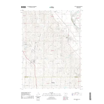
2017 Map of Fort Calhoun
USGS Topo · Published 2017About this map
Fort Calhoun and the historic river lands of eastern Nebraska are documented here, showing the transition from the bluffs to the Missouri River floodplain. The settlement of De Soto sits at the northern edge, near the oxbow of DeSoto Lake and the marshy reaches of Wilson Island. A legacy of westward expansion is visible in local naming conventions, notably Oregon Trail Ln situated west of the Pioneer Memorial Cem.
Find a feature on this map
49 named features on this map. Tap any name to fly to it.
Don’t see what you’re looking for? This feature index may not catch every label — zoom into the map to look around manually.
Map Details
Editions of this 2017 Fort Calhoun Map
This is the sole edition of this map. No revisions or reprints were ever made.
Other maps of this area

1893 · Omaha
USGS Topo · 1:62,500

1893 · Fremont
USGS Topo · 1:125,000

1896 · Fremont
USGS Topo · 1:125,000

1954 · Omaha
USGS Topo · 1:250,000

1955 · Fremont
USGS Topo · 1:250,000

1956 · Irvington
USGS Topo · 1:24,000

1956 · Omaha North
USGS Topo · 1:24,000

1957 · Fremont
USGS Topo · 1:250,000

1957 · Omaha
USGS Topo · 1:250,000

1957 · Loveland
USGS Topo · 1:24,000