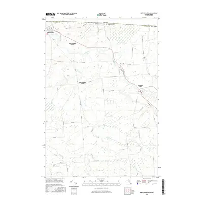
2016 Map of Fort Covington
USGS Topo · Published 2016About this map
The international border with Canada defines the northern edge of this northern New York landscape, where the Salmon River flows through the village of Fort Covington. The settlement pattern follows a series of small clusters and family-named landmarks including Fort Covington Hamlet, Fort Covington Center, and Westville Center. Local history is deeply embedded in the rural road network, with numerous family burial grounds such as Riverside Cem and Coal Hill Cem scattered across the township.
Find a feature on this map
70 named features on this map. Tap any name to fly to it.
Don’t see what you’re looking for? This feature index may not catch every label — zoom into the map to look around manually.
Map Details
Editions of this 2016 Fort Covington Map
This is the sole edition of this map. No revisions or reprints were ever made.
Other maps of this area

1915 · Malone
USGS Topo · 1:62,500

1915 · Moira
USGS Topo · 1:62,500

1917 · Malone
USGS Topo · 1:62,500

1917 · Moira
USGS Topo · 1:62,500

1944 · Moira
USGS Topo · 1:62,500

1948 · Ogdensburg
USGS Topo · 1:250,000

1951 · Ogdensburg
USGS Topo · 1:250,000

1953 · Ogdensburg
USGS Topo · 1:250,000

1961 · Ogdensburg
USGS Topo · 1:250,000
1964 · Ft. Covington
USGS Topo · 1:24,000