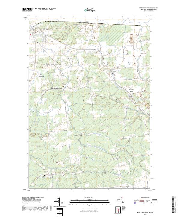
2023 Map of Fort Covington
USGS Topo · Published 2023About this map
The Canada United States of America border marks the northern limit of this Franklin County landscape, where the Salmon River flows westward through the primary settlement of Fort Covington. This region reflects a well-established rural infrastructure, defined by a network of local routes such as Woolen Mill Rd and Cooks Corner Rd that connect the core village to outlying hamlets like Fort Covington Center and Westville.
Find a feature on this map
65 named features on this map. Tap any name to fly to it.
Don’t see what you’re looking for? This feature index may not catch every label — zoom into the map to look around manually.
Map Details
Editions of this 2023 Fort Covington Map
This is the sole edition of this map. No revisions or reprints were ever made.
Other maps of this area

1915 · Malone
USGS Topo · 1:62,500

1915 · Moira
USGS Topo · 1:62,500

1917 · Malone
USGS Topo · 1:62,500

1917 · Moira
USGS Topo · 1:62,500

1944 · Moira
USGS Topo · 1:62,500

1948 · Ogdensburg
USGS Topo · 1:250,000

1951 · Ogdensburg
USGS Topo · 1:250,000

1953 · Ogdensburg
USGS Topo · 1:250,000

1961 · Ogdensburg
USGS Topo · 1:250,000
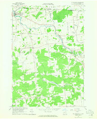
1964 · Ft. Covington
USGS Topo · 1:24,000