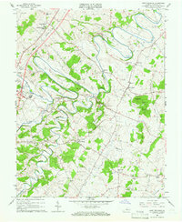
1964 Map of Fort Defiance
USGS Topo · Published 1966About this map
Fort Defiance and its surrounding rural landscapes in Augusta County are defined by a network of winding waterways and traditional institutions during the mid-1960s. The Middle River carves a dramatic, looping path through the northern half of the sheet, while Christians Creek and Meadow Run drain the southern agricultural lands. The presence of the Augusta Military Academy and the Augusta Stone Ch anchors the community, signaling a landscape steeped in long-standing local heritage. The Chesapeake Western railroad cuts across the northwest, providing a vital transport corridor for small settlements like Verona and Knightly. Further east, clusters of local life appear at New Hope and Piedmont, where country churches such as Mt Tabor Ch and Middle River Ch served the farming population. This survey captures the region just as modern additions like a Drive-in Theater began to appear alongside established homesteads and the high ground of Round Hill.
Find a feature on this map
42 named features on this map. Tap any name to fly to it.
Don’t see what you’re looking for? This feature index may not catch every label — zoom into the map to look around manually.
Map Details
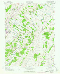
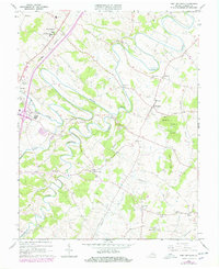
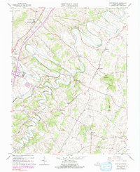
Editions of this 1964 Fort Defiance Map
4 editions found
Other maps of this area

1892 · Harrisonburg
USGS Topo · 1:125,000

1894 · Staunton
USGS Topo · 1:125,000

1934 · Waynesboro
USGS Topo · 1:48,000

1939 · Waynesboro
USGS Topo · 1:62,500

1941 · Harrisonburg
USGS Topo · 1:62,500

1943 · Harrisonburg
USGS Topo · 1:62,500

1944 · Parnassus
USGS Topo · 1:62,500

1944 · Staunton
USGS Topo · 1:62,500

1947 · Staunton
USGS Topo · 1:62,500

1947 · Parnassus
USGS Topo · 1:62,500