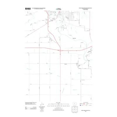
2013 Map of Fort Dodge South
USGS Topo · Published 2013About this map
The Des Moines River carves a winding path through this portion of Webster County, shaping a landscape defined by its waterways and small, historic communities. The settlement of Coalville and the nearby village of Kalo sit along the eastern riverbank, while Otho and Roberts occupy the level lands to the south. This area demonstrates a complex water management system through features like Ditch Number 96, Drainage Ditch 19, and Drainage Ditch Number 29, which drain the agricultural prairie into Prairie Creek. Near the northern boundary, the Fort Museum and Frontier Village serves as a prominent landmark adjacent to the Sunkissed Meadows Golf Course, highlighting the intersection of local heritage and modern recreation. The presence of Gypsum Cr and Elkhorn Cr further illustrates the dense network of tributaries feeding the river valley, which has historically supported both agriculture and early mining in the region.
Find a feature on this map
107 named features on this map. Tap any name to fly to it.
Don’t see what you’re looking for? This feature index may not catch every label — zoom into the map to look around manually.
Map Details
Editions of this 2013 Fort Dodge South Map
This is the sole edition of this map. No revisions or reprints were ever made.
Other maps of this area

1923 · Lehigh
USGS Topo · 1:62,500

1923 · Fort Dodge
USGS Topo · 1:62,500

1954 · Fort Dodge
USGS Topo · 1:250,000

1957 · Fort Dodge
USGS Topo · 1:250,000

1958 · Fort Dodge
USGS Topo · 1:250,000

1965 · Moorland
USGS Topo · 1:24,000

1965 · Fort Dodge South
USGS Topo · 1:24,000

1965 · Lehigh
USGS Topo · 1:24,000

1965 · Gowrie
USGS Topo · 1:24,000

1965 · Harcourt
USGS Topo · 1:24,000