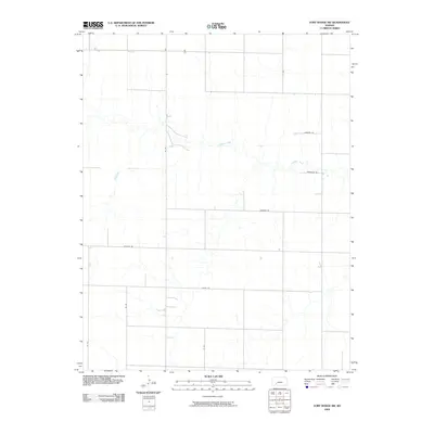
2009 Map of Fort Dodge SW
USGS Topo · Published 2009About this map
Mulberry Creek meanders through the central landscape of Ford County in this 2009 survey, creating a ribbon of drainage across a grid-defined prairie. The geography here is defined by an orderly system of section roads that provide access to the agricultural interior. Named routes such as Wilburn Rd, Wildfire Rd, and Windy Rd suggest the environmental character of this Kansas plains region, where the open terrain is exposed to the elements.
Find a feature on this map
11 named features on this map. Tap any name to fly to it.
Don’t see what you’re looking for? This feature index may not catch every label — zoom into the map to look around manually.
Map Details
Editions of this 2009 Fort Dodge SW Map
This is the sole edition of this map. No revisions or reprints were ever made.
Other maps of this area

1892 · Meade
USGS Topo · 1:125,000

1892 · Dodge
USGS Topo · 1:125,000

1892 · Spearville
USGS Topo · 1:125,000

1894 · Spearville
USGS Topo · 1:125,000

1896 · Ashland
USGS Topo · 1:125,000

1955 · Pratt
USGS Topo · 1:250,000

1955 · Dodge City
USGS Topo · 1:250,000

1958 · Dodge City
USGS Topo · 1:250,000

1959 · Pratt
USGS Topo · 1:250,000

1959 · Dodge City
USGS Topo · 1:250,000