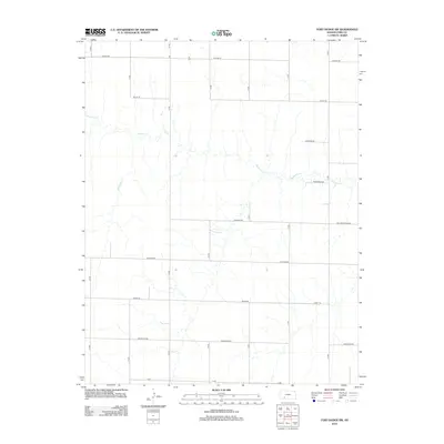
2012 Map of Fort Dodge SW
USGS Topo · Published 2012About this map
Mulberry Cr meanders across the landscape of Ford County in this 2012 survey, defining the primary drainage for this section of the Kansas plains. The area is organized by a strict geometric grid of section-line roads, many of which carry evocative names that hint at the local character and history of the region. Distinctive routes such as Warrior Rd, Whirlwind Rd, and the curiously named Million Dollar Rd provide a structured framework for the agricultural lands and scattered farmsteads. These roads, including Wildfire Rd and Wrangler Rd, connect the rural territory between Upland Rd at the northern boundary and X Rd at the south. The absence of a formal town center within these coordinates emphasizes the enduring rural and pastoral nature of this specific quadrant of the state.
Find a feature on this map
18 named features on this map. Tap any name to fly to it.
Don’t see what you’re looking for? This feature index may not catch every label — zoom into the map to look around manually.
Map Details
Editions of this 2012 Fort Dodge SW Map
This is the sole edition of this map. No revisions or reprints were ever made.
Other maps of this area

1892 · Meade
USGS Topo · 1:125,000

1892 · Dodge
USGS Topo · 1:125,000

1892 · Spearville
USGS Topo · 1:125,000

1894 · Spearville
USGS Topo · 1:125,000

1896 · Ashland
USGS Topo · 1:125,000

1955 · Pratt
USGS Topo · 1:250,000

1955 · Dodge City
USGS Topo · 1:250,000

1958 · Dodge City
USGS Topo · 1:250,000

1959 · Pratt
USGS Topo · 1:250,000

1959 · Dodge City
USGS Topo · 1:250,000