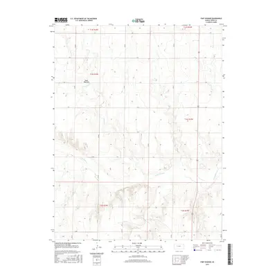
2015 Map of Fort Downer
USGS Topo · Published 2015About this map
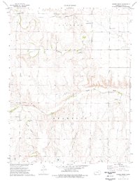
Fort Downer stands as a focal point in this Western Kansas landscape, situated near the banks of Downer Cr. The terrain is defined by the broad path of the Smoky Hill River, which cuts through the southern half of the quadrangle. This 2015 survey illustrates a rural landscape structured by a precise grid of local routes such as S RD, V RD, and Aa RD, reflecting the enduring Public Land Survey System. The confluence of Sand Cr and other small tributaries with the primary river system suggests a topography deeply influenced by water drainage patterns in Trego County. While the physical structures of the historic military post are not detailed, the label preserves the memory of this significant frontier location within the modern agricultural and ranching framework of the region.
Find a feature on this map
17 named features on this map. Tap any name to fly to it.
Don’t see what you’re looking for? This feature index may not catch every label — zoom into the map to look around manually.
Map Details
Editions of this 2015 Fort Downer Map
This is the sole edition of this map. No revisions or reprints were ever made.
Other maps of this area

1893 · Ellis
USGS Topo · 1:125,000

1955 · Great Bend
USGS Topo · 1:250,000

1955 · Scott City
USGS Topo · 1:250,000

1957 · Great Bend
USGS Topo · 1:250,000

1958 · Great Bend
USGS Topo · 1:250,000

1958 · Scott City
USGS Topo · 1:250,000
1960 · Trego Center
USGS Topo · 1:24,000
1960 · Trego Center NE
USGS Topo · 1:24,000
1972 · Castle Rock NE
USGS Topo · 1:24,000
1974 · Gibson Creek
USGS Topo · 1:24,000