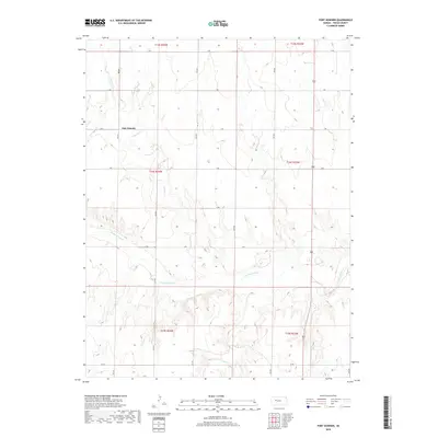
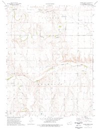
2018 Map of Fort Downer
USGS Topo · Published 2018About this map
Fort Downer centers this map of western Kansas, marking a point of transition across the High Plains landscape. The terrain is defined by the winding course of the Smoky Hill River, which flows through the southern half of the quadrangle. This waterway, along with its tributaries Downer Cr and Sand Cr, historically dictated the movement of travelers and the placement of frontier outposts in Trego County. The map details a strictly organized grid of rural roads, including 220 Ave and W Rd, which cut across the dramatic bluffs and drainage patterns that characterize the river valley. The survey provides a clear view of how land divisions like t14s r24w align with the natural topography of the river breaks and plains.
Find a feature on this map
23 named features on this map. Tap any name to fly to it.
Don’t see what you’re looking for? This feature index may not catch every label — zoom into the map to look around manually.
Map Details
Editions of this 2018 Fort Downer Map
This is the sole edition of this map. No revisions or reprints were ever made.
Other maps of this area

1893 · Ellis
USGS Topo · 1:125,000

1955 · Great Bend
USGS Topo · 1:250,000

1955 · Scott City
USGS Topo · 1:250,000

1957 · Great Bend
USGS Topo · 1:250,000

1958 · Great Bend
USGS Topo · 1:250,000

1958 · Scott City
USGS Topo · 1:250,000
1960 · Trego Center
USGS Topo · 1:24,000
1960 · Trego Center NE
USGS Topo · 1:24,000
1972 · Castle Rock NE
USGS Topo · 1:24,000
1974 · Gibson Creek
USGS Topo · 1:24,000