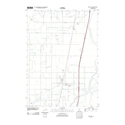
2010 Map of Fort Hall
USGS Topo · Published 2010About this map
The settlement of Fort Hall serves as the focal point of this 2010 Idaho survey, illustrating the complex irrigation infrastructure of the Snake River Plain. The landscape is defined by a dense network of water management features, ranging from the prominent Fort Hall Main Canal and Gibson Canal to specialized channels like the Township Lateral, Agency Lateral, and Trego Lateral. These waterways support the agricultural character of the region, crisscrossing a grid of local roads such as Sheepskin Rd and Ballard Cemetery Rd. Standing out against the low-lying fields is the prominent terrain of Ferry Butte in the northwest. Local history is anchored by sites like the Good Shepherd Cemetery and community nodes at Gibson and Eagle Lodge, providing a clear picture of the modern-era habitation patterns and land use within the Fort Hall Indian Reservation.
Find a feature on this map
76 named features on this map. Tap any name to fly to it.
Don’t see what you’re looking for? This feature index may not catch every label — zoom into the map to look around manually.
Map Details
Editions of this 2010 Fort Hall Map
This is the sole edition of this map. No revisions or reprints were ever made.
Other maps of this area

1934 · Michaud
USGS Topo · 1:62,500

1937 · Pocatello
USGS Topo · 1:48,000

1937 · Michaud
USGS Topo · 1:62,500

1940 · Blackfoot
USGS Topo · 1:62,500

1943 · Blackfoot
USGS Topo · 1:62,500

1944 · Pocatello
USGS Topo · 1:62,500

1954 · Pocatello
USGS Topo · 1:250,000

1955 · Rockford
USGS Topo · 1:24,000

1955 · Pingree
USGS Topo · 1:24,000

1955 · Idaho Falls
USGS Topo · 1:250,000