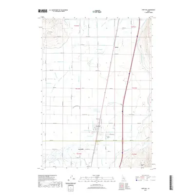
2020 Map of Fort Hall
USGS Topo · Published 2020About this map
Fort Hall and the neighboring community of Gibson anchor this landscape, defined by an intricate network of irrigation channels that support agriculture across the high desert terrain. The massive Fort Hall Main Canal and Gibson Canal feed a complex system of smaller arteries including the Parker Lateral, Calico Lateral, and Marlow Lateral, reflecting the critical importance of water management in this part of Idaho. This infrastructure allows for a structured settlement pattern, where roads like Ballard Cemetery Rd and Stock Trail Rd follow the rigid lines of the township and range survey system.
Find a feature on this map
102 named features on this map. Tap any name to fly to it.
Don’t see what you’re looking for? This feature index may not catch every label — zoom into the map to look around manually.
Map Details
Editions of this 2020 Fort Hall Map
This is the sole edition of this map. No revisions or reprints were ever made.
Other maps of this area

1934 · Michaud
USGS Topo · 1:62,500

1937 · Pocatello
USGS Topo · 1:48,000

1937 · Michaud
USGS Topo · 1:62,500

1940 · Blackfoot
USGS Topo · 1:62,500

1943 · Blackfoot
USGS Topo · 1:62,500

1944 · Pocatello
USGS Topo · 1:62,500

1954 · Pocatello
USGS Topo · 1:250,000

1955 · Rockford
USGS Topo · 1:24,000

1955 · Pingree
USGS Topo · 1:24,000

1955 · Idaho Falls
USGS Topo · 1:250,000