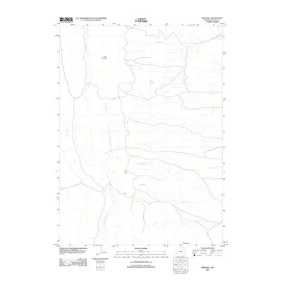
2012 Map of Fort Hill
USGS Topo · Published 2012About this map
Miller Mountain and Fort Hill anchor the high ground in this southwestern Wyoming landscape, part of a high-altitude drainage system that feeds into a complex network of creeks. The hydrology of the area is particularly intricate, with N Muddy Cr, Little Muddy Cr, and Muddy Cr converging across the central basin. These watercourses, along with Dutch George Cr and Burdick Cr, define the natural movement of the land and dictate the placement of local roads. In the southern reach, Pine Ridge provides a distinct geographic boundary. This 2012 survey by the U.S. Geological Survey captures the region's character as a sparsely populated cattle-ranching or resource-extraction landscape, where named features are largely tied to the topography and water sources that have sustained movement through the high desert for generations.
Find a feature on this map
10 named features on this map. Tap any name to fly to it.
Don’t see what you’re looking for? This feature index may not catch every label — zoom into the map to look around manually.
Map Details
Editions of this 2012 Fort Hill Map
This is the sole edition of this map. No revisions or reprints were ever made.
Other maps of this area

1936 · Cokeville
USGS Topo · 1:96,000

1942 · Cokeville
USGS Topo · 1:125,000

1945 · Fort Hill
USGS Topo · 1:62,500

1947 · Fort Hill
USGS Topo · 1:62,500

1955 · Preston
USGS Topo · 1:250,000

1958 · Preston
USGS Topo · 1:250,000

1962 · Preston
USGS Topo · 1:250,000
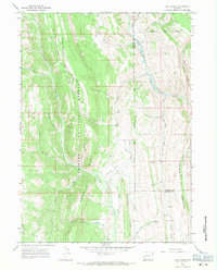
1967 · Coal Creek
USGS Topo · 1:24,000
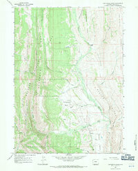
1967 · Fontenelle Basin
USGS Topo · 1:24,000
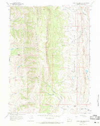
1967 · South Fork Mountain
USGS Topo · 1:24,000