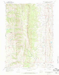
1967 Map of South Fork Mountain
USGS Topo · Published 1971About this map
The Emigrant Trail (Sublette Cutoff) traverses the southern reaches of this Lincoln County landscape, marking a historical corridor of westward expansion across the high Wyoming terrain. The topography is dominated by north-south trending formations, including the prominent South Fork Mountain and the parallel crests of Commissary Ridge and Oyster Ridge. Between these heights lies Mammoth Hollow, a significant drainage area where the Coal Branch and Everly Creek gather.
Find a feature on this map
26 named features on this map. Tap any name to fly to it.
Don’t see what you’re looking for? This feature index may not catch every label — zoom into the map to look around manually.
Map Details
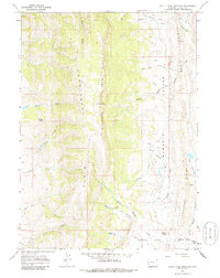
Editions of this 1967 South Fork Mountain Map
2 editions found
Other maps of this area

1936 · Cokeville
USGS Topo · 1:96,000

1942 · Cokeville
USGS Topo · 1:125,000

1945 · Fort Hill
USGS Topo · 1:62,500

1947 · Fort Hill
USGS Topo · 1:62,500

1954 · Ogden
USGS Topo · 1:250,000

1954 · Kemmerer
USGS Topo · 1:62,500

1955 · Preston
USGS Topo · 1:250,000

1958 · Ogden
USGS Topo · 1:250,000

1958 · Preston
USGS Topo · 1:250,000

1960 · Ogden
USGS Topo · 1:250,000