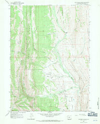
1967 Map of Fontenelle Basin
USGS Topo · Published 1971About this map
Bridger National Forest dominates this section of Lincoln County, where the high mountain terrain is defined by a series of prominent north-south ridges and deep drainages. Commissary Ridge and Indian Ridge rise sharply above the western valleys, while the central Fontenelle Basin serves as a gathering point for numerous waterways, including Minnehaha Creek and Fontenelle Creek. The map documents a landscape primarily utilized for forest management and resource exploration, as evidenced by a Pack Trail and several Drill Hole locations near Little Bear Creek. In the east, the steep Oyster Ridge and the Hogbacks overlook Mammoth Hollow, creating a complex geological profile of the Wyoming Range. These features illustrate the drainage patterns of the upper South Fork and Middle Fork watersheds before they reach the high desert plains.
Find a feature on this map
34 named features on this map. Tap any name to fly to it.
Don’t see what you’re looking for? This feature index may not catch every label — zoom into the map to look around manually.
Map Details
Editions of this 1967 Fontenelle Basin Map
2 editions found
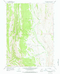
Other maps of this area

1936 · Cokeville
USGS Topo · 1:96,000

1942 · Cokeville
USGS Topo · 1:125,000

1945 · Fort Hill
USGS Topo · 1:62,500

1947 · Fort Hill
USGS Topo · 1:62,500

1955 · Preston
USGS Topo · 1:250,000

1958 · Preston
USGS Topo · 1:250,000

1962 · Preston
USGS Topo · 1:250,000
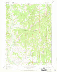
1967 · Pole Creek
USGS Topo · 1:24,000

1967 · Devils Hole Creek
USGS Topo · 1:24,000
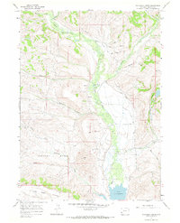
1967 · Wilkinson Creek
USGS Topo · 1:24,000