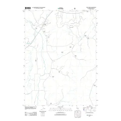
2012 Map of Fort Jones
USGS Topo · Published 2012About this map
Fort Jones stands as a central point of this Northern California landscape, where the confluence of history and geography is marked by the Fort Jones Historic Marker. Situated within the Scott Valley, the area is defined by the winding course of the Scott River and its numerous tributaries, including Moffett Cr and Kidder Cr. The map reveals a mix of agricultural valley floor and the rising terrain of the Mineral Range to the east.
Find a feature on this map
45 named features on this map. Tap any name to fly to it.
Don’t see what you’re looking for? This feature index may not catch every label — zoom into the map to look around manually.
Map Details
Editions of this 2012 Fort Jones Map
This is the sole edition of this map. No revisions or reprints were ever made.
Other maps of this area

1886 · Shasta
USGS Topo · 1:250,000

1894 · Shasta
USGS Topo · 1:250,000

1923 · Sawyers Bar
USGS Topo · 1:125,000

1931 · Etna
USGS Topo · 1:96,000

1932 · Yreka
USGS Topo · 1:96,000

1934 · Etna
USGS Topo · 1:125,000

1939 · Yreka
USGS Topo · 1:125,000

1948 · Weed
USGS Topo · 1:250,000

1950 · Weed
USGS Topo · 1:250,000

1954 · Yreka
USGS Topo · 1:62,500