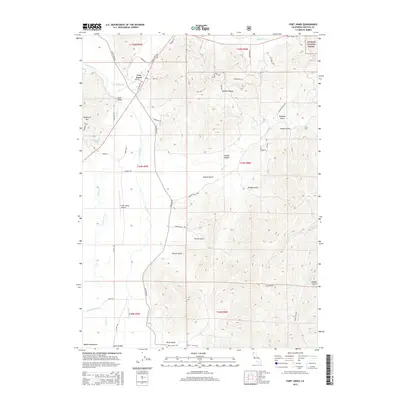
2015 Map of Fort Jones
USGS Topo · Published 2015About this map
Fort Jones and the fertile Scott Valley are the central focus of this mid-2010s survey, where the Scott River winds through a landscape defined by deep gulches and significant elevation changes. The town's grid, including Newton St and Mathews St, sits at the base of the Mineral Range, illustrating the historical relationship between the valley floor settlements and the surrounding mountain resources. Local transportation and utility are marked by the Scott Valley Airport and a network of canyon roads like Hamlin Gulch Rd and Hurds Gulch Rd.
Find a feature on this map
61 named features on this map. Tap any name to fly to it.
Don’t see what you’re looking for? This feature index may not catch every label — zoom into the map to look around manually.
Map Details
Editions of this 2015 Fort Jones Map
This is the sole edition of this map. No revisions or reprints were ever made.
Other maps of this area

1886 · Shasta
USGS Topo · 1:250,000

1894 · Shasta
USGS Topo · 1:250,000

1923 · Sawyers Bar
USGS Topo · 1:125,000

1931 · Etna
USGS Topo · 1:96,000

1932 · Yreka
USGS Topo · 1:96,000

1934 · Etna
USGS Topo · 1:125,000

1939 · Yreka
USGS Topo · 1:125,000

1948 · Weed
USGS Topo · 1:250,000

1950 · Weed
USGS Topo · 1:250,000

1954 · Yreka
USGS Topo · 1:62,500