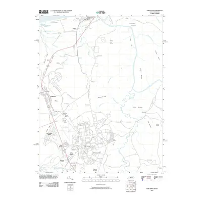
2010 Map of Fort Knox
USGS Topo · Published 2010About this map
The United States Bullion Depository stands as a focal point in this military landscape, situated just south of the main Fort Knox cantonment area. This 2010 survey details the extensive infrastructure of the installation, including residential areas like Gaffey Heights, Rose Terrace, and Prichard Place, alongside the operational grounds of Godman Army Air Field. The map records a dense network of family and historical burial grounds such as McIntire Cemetery, Boone Cemetery, and Saint Patricks Cemetery, which are interspersed among the ridges and hollows that define the region's topography.
Find a feature on this map
89 named features on this map. Tap any name to fly to it.
Don’t see what you’re looking for? This feature index may not catch every label — zoom into the map to look around manually.
Map Details
Editions of this 2010 Fort Knox Map
This is the sole edition of this map. No revisions or reprints were ever made.
Other maps of this area

1909 · Kosmosdale
USGS Topo · 1:48,000

1912 · Kosmosdale
USGS Topo · 1:62,500

1931 · Corydon
USGS Topo · 1:62,500

1936 · Vine Grove
USGS Topo · 1:62,500

1941 · Ekron
USGS Topo · 1:62,500

1943 · Vine Grove
USGS Topo · 1:62,500

1946 · Rock Haven
USGS Topo · 1:24,000

1946 · Pitts Point
USGS Topo · 1:24,000

1946 · Fort Knox
USGS Topo · 1:24,000

1946 · Colesburg
USGS Topo · 1:24,000