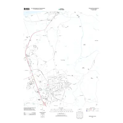
2013 Map of Fort Knox
USGS Topo · Published 2013About this map
Fort Knox and its strategic infrastructure dominate this 2013 landscape, highlighted by the secure footprint of the United States Bullion Depository and the operational layout of Godman Army Airfield. The map documents the residential developments of Gaffey Heights, Rose Terrace, and Prichard Place, which sit alongside the rugged terrain of McClelland Ridge and Scott Mountain. The Ohio River and Salt River converge near West Point, a riverfront settlement with deep historical roots visible through its numerous small family and church burial grounds, including Saint Patricks Cem and Geoghegan Cem. This survey illustrates the modern intersection of military readiness and civilian life, where Gold Vault Road meets local thoroughfares like Old Dixie Highway, preserving the names of local landmarks such as Tioga Spring and Dripping Springs amidst the military training grounds.
Find a feature on this map
176 named features on this map. Tap any name to fly to it.
Don’t see what you’re looking for? This feature index may not catch every label — zoom into the map to look around manually.
Map Details
Editions of this 2013 Fort Knox Map
This is the sole edition of this map. No revisions or reprints were ever made.
Other maps of this area

1909 · Kosmosdale
USGS Topo · 1:48,000

1912 · Kosmosdale
USGS Topo · 1:62,500

1931 · Corydon
USGS Topo · 1:62,500

1936 · Vine Grove
USGS Topo · 1:62,500

1941 · Ekron
USGS Topo · 1:62,500

1943 · Vine Grove
USGS Topo · 1:62,500

1946 · Rock Haven
USGS Topo · 1:24,000

1946 · Pitts Point
USGS Topo · 1:24,000

1946 · Fort Knox
USGS Topo · 1:24,000

1946 · Colesburg
USGS Topo · 1:24,000