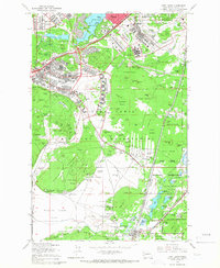
1959 Map of Fort Lewis
USGS Topo · Published 1966About this map
The Fort Lewis Military Reservation dominates this 1959 landscape, revealing a massive defense infrastructure at the height of the Cold War. The map details a complex network of barracks, artillery ranges, and training grounds, including the 10th Field Artillery area and the Indian Treaty Range Bdy. Key installations like Madigan General Hosp and the Mount Rainier Ordnance Depot sit alongside aviation hubs such as McChord Air Force Base and Gray Field.
Find a feature on this map
123 named features on this map. Tap any name to fly to it.
Don’t see what you’re looking for? This feature index may not catch every label — zoom into the map to look around manually.
Map Details
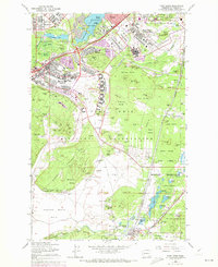
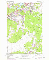
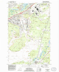
Editions of this 1959 Fort Lewis Map
4 editions found
Other maps of this area

1897 · Tacoma
USGS Topo · 1:125,000

1900 · Tacoma
USGS Topo · 1:125,000

1916 · Chehalis
USGS Topo · 1:125,000

1937 · Eatonville
USGS Topo · 1:125,000

1940 · Anderson Island
USGS Topo · 1:62,500

1941 · Tanwax Lake
USGS Topo · 1:62,500

1941 · Tacoma South
USGS Topo · 1:62,500

1944 · Tacoma South
USGS Topo · 1:62,500

1944 · Yelm
USGS Topo · 1:62,500

1944 · Ohop Valley
USGS Topo · 1:62,500