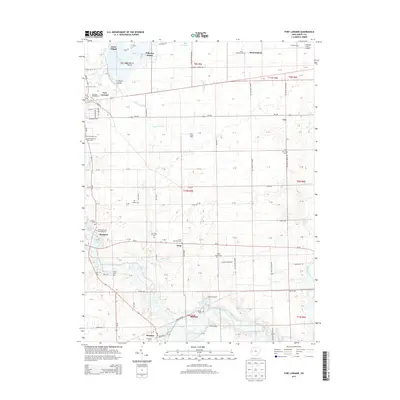
2013 Map of Fort Loramie
USGS Topo · Published 2013About this map
Lake Loramie dominates the northern landscape of this Shelby County region, its irregular shoreline defined by points like Earls Island and Blackberry Island. The area reflects a deeply rooted agricultural and religious heritage, evident in the high density of rural cemeteries and small communities such as Saint Patrick and Newport. The drainage patterns are heavily managed through a network of constructed waterways including Webner Ditch and Gaier Ditch, which feed into Loramie Creek.
Find a feature on this map
80 named features on this map. Tap any name to fly to it.
Don’t see what you’re looking for? This feature index may not catch every label — zoom into the map to look around manually.
Map Details
Editions of this 2013 Fort Loramie Map
This is the sole edition of this map. No revisions or reprints were ever made.
Other maps of this area

1909 · Loramie
USGS Topo · 1:62,500

1911 · Loramie
USGS Topo · 1:62,500

1911 · Covington
USGS Topo · 1:62,500

1913 · Sidney
USGS Topo · 1:62,500

1914 · Troy
USGS Topo · 1:62,500

1944 · Covington
USGS Topo · 1:62,500

1944 · Sidney
USGS Topo · 1:62,500

1944 · Loramie
USGS Topo · 1:62,500

1944 · Troy
USGS Topo · 1:62,500

1953 · Muncie
USGS Topo · 1:250,000