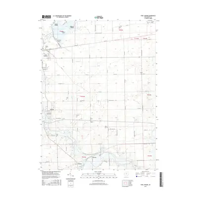
2016 Map of Fort Loramie
USGS Topo · Published 2016About this map
Fort Loramie anchors this section of Shelby County, situated at the edge of the expansive Lake Loramie. The landscape is defined by its early 19th-century history as a vital portage and canal point, though by this era, it is characterized by a high concentration of cemeteries and family-named landmarks. The map details several islands within the lake, including Earls Island and Filburns Island, as well as the drainage network of Loramie Creek and Eilerman Ditch.
Find a feature on this map
122 named features on this map. Tap any name to fly to it.
Don’t see what you’re looking for? This feature index may not catch every label — zoom into the map to look around manually.
Map Details
Editions of this 2016 Fort Loramie Map
This is the sole edition of this map. No revisions or reprints were ever made.
Other maps of this area

1909 · Loramie
USGS Topo · 1:62,500

1911 · Loramie
USGS Topo · 1:62,500

1911 · Covington
USGS Topo · 1:62,500

1913 · Sidney
USGS Topo · 1:62,500

1914 · Troy
USGS Topo · 1:62,500

1944 · Covington
USGS Topo · 1:62,500

1944 · Sidney
USGS Topo · 1:62,500

1944 · Loramie
USGS Topo · 1:62,500

1944 · Troy
USGS Topo · 1:62,500

1953 · Muncie
USGS Topo · 1:250,000