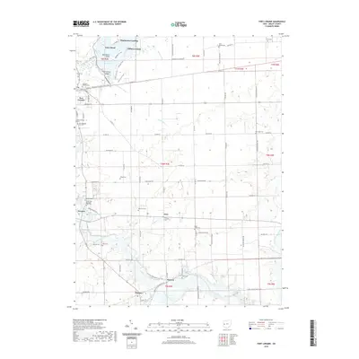
2019 Map of Fort Loramie
USGS Topo · Published 2019About this map
Lake Loramie anchors the northern reaches of this landscape, its waters broken by Earls Island, Blackberry Island, and Filburns Island. The surrounding territory is a well-established agricultural grid, where small settlements like Fort Loramie and Houston serve as focal points for a deeply rooted local community. The prevalence of religious sites and burial grounds, including the Old Saint Michaels Cem and the Saint Peter and Saint Paul Cem, highlights the enduring legacy of the early families who shaped this part of Shelby County.
Find a feature on this map
94 named features on this map. Tap any name to fly to it.
Don’t see what you’re looking for? This feature index may not catch every label — zoom into the map to look around manually.
Map Details
Editions of this 2019 Fort Loramie Map
This is the sole edition of this map. No revisions or reprints were ever made.
Other maps of this area

1909 · Loramie
USGS Topo · 1:62,500

1911 · Loramie
USGS Topo · 1:62,500

1911 · Covington
USGS Topo · 1:62,500

1913 · Sidney
USGS Topo · 1:62,500

1914 · Troy
USGS Topo · 1:62,500

1944 · Covington
USGS Topo · 1:62,500

1944 · Sidney
USGS Topo · 1:62,500

1944 · Loramie
USGS Topo · 1:62,500

1944 · Troy
USGS Topo · 1:62,500

1953 · Muncie
USGS Topo · 1:250,000