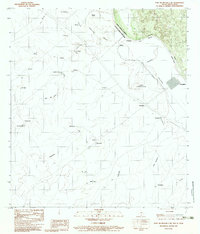
1983 Map of Fort McIntosh 3 NE
USGS Topo · Published 1983About this map
The Rio Grande Rio Bravo serves as the primary dividing line in this borderland region, marking the international boundary between Texas and the Mexican state of Nueva Leon. Along the southern banks, the settlement of Colombia stands as a focal point near the river's bend, while the Mexican side is characterized by numerous small ranchos and named locales such as San Javier, B la Presa, and San Vicente. The landscape is etched with ephemeral drainages including the Uña de Gato and La Guajolota, which flow toward the river through a series of low hills and plains.
Find a feature on this map
33 named features on this map. Tap any name to fly to it.
Don’t see what you’re looking for? This feature index may not catch every label — zoom into the map to look around manually.
Map Details
Editions of this 1983 Fort McIntosh 3 NE Map
2 editions found
Other maps of this area

1923 · Palafox
USGS Topo · 1:62,500

1956 · Las Tiendas
USGS Topo · 1:62,500

1956 · Islitas
USGS Topo · 1:62,500

1956 · Laredo
USGS Topo · 1:250,000

1965 · Cerritos Blancos
USGS Topo · 1:24,000
1965 · Dolores Ranch
USGS Topo · 1:24,000
1983 · San Pedro Hill
USGS Topo · 1:24,000
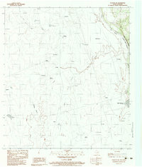
1983 · Palafox SW
USGS Topo · 1:24,000
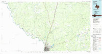
1985 · Laredo
USGS Topo · 1:100,000
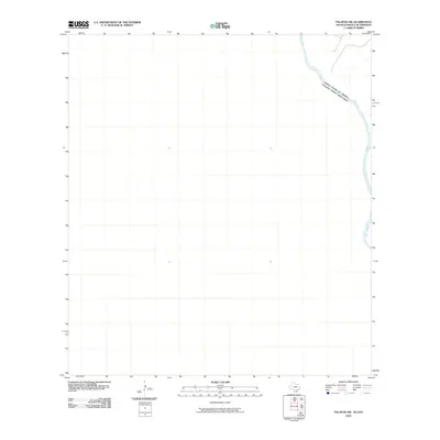
2010 · Palafox SW
USGS Topo · 1:24,000