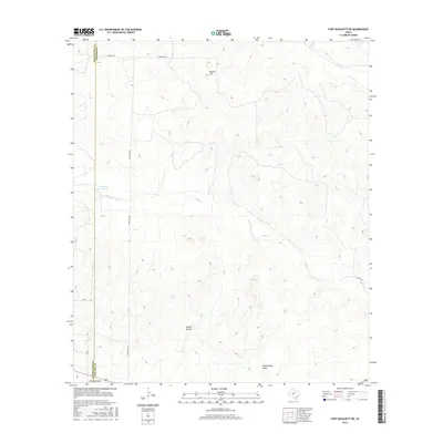
2016 Map of Fort McKavett NE
USGS Topo · Published 2016About this map
Ninemile Waterhole sits at the center of this drainage network in the Edwards Plateau region of Texas. The landscape is defined by its intermittent watercourses, including Rocky Cr and Dry Cr, which carve through the high ground. The survey clearly delineates the border between Schleicher Co and Menard Co, running north-to-south through the western portion of the sheet. Notable topographical variations include Round Hill in the north and the deep indentations of Brown Hollow. Ranching infrastructure is evidenced by the sparse network of rural routes such as Ranch Rd 2873 and Norman Rd, which connect isolated properties across the arid terrain. The presence of named drainages like Rattlesnake Draw and Milligan Draw highlights the vital role of seasonal water management in this livestock-dependent territory.
Find a feature on this map
12 named features on this map. Tap any name to fly to it.
Don’t see what you’re looking for? This feature index may not catch every label — zoom into the map to look around manually.
Map Details
Editions of this 2016 Fort McKavett NE Map
This is the sole edition of this map. No revisions or reprints were ever made.
Other maps of this area

1892 · San Angelo
USGS Topo · 1:125,000

1892 · Eden
USGS Topo · 1:125,000

1893 · Fort McKavett
USGS Topo · 1:125,000

1896 · Eden
USGS Topo · 1:125,000

1954 · Brownwood
USGS Topo · 1:250,000

1954 · Llano
USGS Topo · 1:250,000

1954 · Sonora
USGS Topo · 1:250,000

1954 · San Angelo
USGS Topo · 1:250,000

1955 · Llano
USGS Topo · 1:250,000

1956 · Llano
USGS Topo · 1:250,000