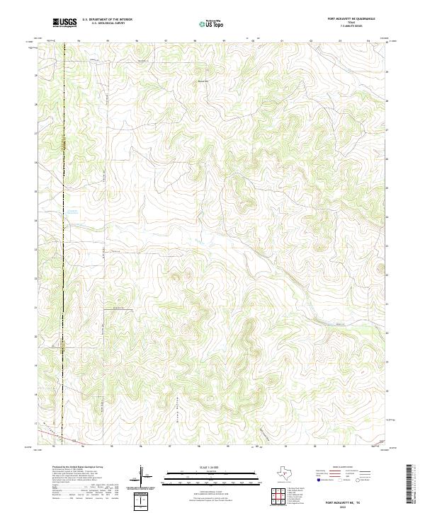
2022 Map of Fort McKavett NE
USGS Topo · Published 2022About this map
The rolling ranchlands of the Edwards Plateau are documented in this modern survey, defined by the intersection of the Schleicher Co and Menard Co boundary. The landscape is characterized by its intermittent drainage systems and reliable water sources, most notably Ninemile Waterhole in the western portion of the quadrangle. Transportation is limited to a network of rural routes such as Ranch Rd 2873, Norman Rd, and BSA Ranch Rd, which serve the expansive private holdings in the region.
Find a feature on this map
13 named features on this map. Tap any name to fly to it.
Don’t see what you’re looking for? This feature index may not catch every label — zoom into the map to look around manually.
Map Details
Editions of this 2022 Fort McKavett NE Map
This is the sole edition of this map. No revisions or reprints were ever made.
Other maps of this area

1892 · San Angelo
USGS Topo · 1:125,000

1892 · Eden
USGS Topo · 1:125,000

1893 · Fort McKavett
USGS Topo · 1:125,000

1896 · Eden
USGS Topo · 1:125,000

1954 · Brownwood
USGS Topo · 1:250,000

1954 · Llano
USGS Topo · 1:250,000

1954 · Sonora
USGS Topo · 1:250,000

1954 · San Angelo
USGS Topo · 1:250,000

1955 · Llano
USGS Topo · 1:250,000

1956 · Llano
USGS Topo · 1:250,000