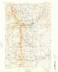
1903 Map of Fort McKinney
USGS Topo · Published 1924About this map
Buffalo serves as the primary hub of Johnson County at the turn of the century, situated at the edge of the Big Horn Mountains. The landscape is dominated by the sprawling Fort Mc Kinney Military Reservation and its adjacent Wood Reservation, illustrating the strategic importance of the area during the late frontier era. The cattle-ranching economy is evident through several named spreads, including the T A Ranch and Cross H Ranch. Water management and natural resources are centered around the prominent Lake De Smet and the various forks of Crazy Woman Creek, which carve through the foothills. A transition from high mountain forest in the Bighorn National Forest to the open plains of the east is captured here, with early tracks and roads connecting small outposts like Klondike and Greub.
Find a feature on this map
51 named features on this map. Tap any name to fly to it.
Don’t see what you’re looking for? This feature index may not catch every label — zoom into the map to look around manually.
Map Details
Editions of this 1903 Fort McKinney Map
3 editions found
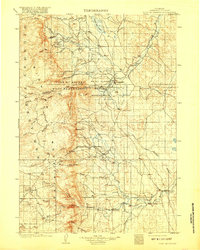
Other maps of this area

1895 · Dayton
USGS Topo · 1:125,000

1899 · Cloud peak
USGS Topo · 1:125,000

1900 · Fort McKinney
USGS Topo · 1:125,000

1901 · Cloud Peak
USGS Topo · 1:125,000

1901 · Dayton
USGS Topo · 1:125,000

1903 · Fort McKinney
USGS Topo · 1:125,000

1909 · Sheridan
USGS Topo · 1:125,000

1911 · Sheridan
USGS Topo · 1:125,000

1955 · Sheridan
USGS Topo · 1:250,000

1955 · Arminto
USGS Topo · 1:250,000