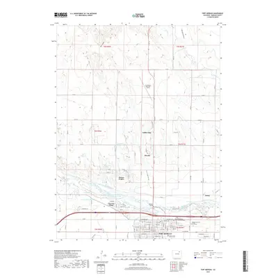
2019 Map of Fort Morgan
USGS Topo · Published 2019About this map
The South Platte River corridor anchors this modern survey of Morgan County, documenting the dense agricultural and urban development surrounding Fort Morgan. The river's influence is clear through the intricate network of irrigation and transport infrastructure, including the Deuel and Snyder Canal, Riverside Intake Canal, and the Upper Platte and Beaver Canal. These water systems supported the expansion of settlements like Log Lane Village and Morgan Heights, which sit just north of the city center.
Find a feature on this map
67 named features on this map. Tap any name to fly to it.
Don’t see what you’re looking for? This feature index may not catch every label — zoom into the map to look around manually.
Map Details
Editions of this 2019 Fort Morgan Map
This is the sole edition of this map. No revisions or reprints were ever made.
Other maps of this area
1951 · Weldona
USGS Topo · 1:24,000
1951 · Dead Horse Springs
USGS Topo · 1:24,000
1951 · Brush West
USGS Topo · 1:24,000
1951 · Peace Valley School
USGS Topo · 1:24,000
1951 · Judson Hills
USGS Topo · 1:24,000
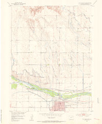
1951 · Fort Morgan
USGS Topo · 1:24,000
1954 · Sterling
USGS Topo · 1:250,000
1958 · Sterling
USGS Topo · 1:250,000
1963 · Lamb
USGS Topo · 1:24,000
1963 · Round Top
USGS Topo · 1:24,000