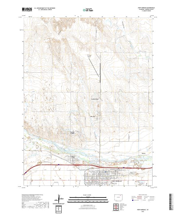
2022 Map of Fort Morgan
USGS Topo · Published 2022About this map
Fort Morgan serves as the focal point of this high-plains landscape, situated along the southern banks of the South Platte River. The map reveals a complex water management system essential for agriculture and municipal life in the region, including the Fort Morgan Canal, the Deuel and Snyder Canal, and the Upper Platte and Beaver Canal. These man-made waterways parallel the river's course, supporting the surrounding plains and nearby developments like Log Lane Village and Morgan Heights.
Find a feature on this map
62 named features on this map. Tap any name to fly to it.
Don’t see what you’re looking for? This feature index may not catch every label — zoom into the map to look around manually.
Map Details
Editions of this 2022 Fort Morgan Map
This is the sole edition of this map. No revisions or reprints were ever made.
Other maps of this area

1951 · Weldona
USGS Topo · 1:24,000

1951 · Dead Horse Springs
USGS Topo · 1:24,000

1951 · Brush West
USGS Topo · 1:24,000

1951 · Peace Valley School
USGS Topo · 1:24,000

1951 · Judson Hills
USGS Topo · 1:24,000

1951 · Fort Morgan
USGS Topo · 1:24,000

1954 · Sterling
USGS Topo · 1:250,000

1958 · Sterling
USGS Topo · 1:250,000

1963 · Lamb
USGS Topo · 1:24,000

1963 · Round Top
USGS Topo · 1:24,000