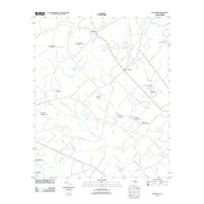
2012 Map of Fort Motte
USGS Topo · Published 2012About this map
Fort Motte and the surrounding Calhoun County landscape are defined by a network of creeks and named ponds feeding into the Congaree River and Santee River junction. The settlement pattern in this 2012 survey remains largely rural, anchored by Wiles Crossroads and the Saint Matthews Airport. Numerous private water features, such as Reid House Pond and Shehane Cabin Pond, suggest a localized landscape of managed land and family estates. The presence of several dams, including the Saint Matthews City Sewage Dam, reflects modern water management infrastructure alongside traditional riverfront landmarks like Saw Dust Landing. The drainage patterns of Halfway Swamp Creek and Buckhead Creek shape the distribution of local roads and smaller settlements like Singleton.
Find a feature on this map
74 named features on this map. Tap any name to fly to it.
Don’t see what you’re looking for? This feature index may not catch every label — zoom into the map to look around manually.
Map Details
Editions of this 2012 Fort Motte Map
This is the sole edition of this map. No revisions or reprints were ever made.
Other maps of this area

1943 · Eastover
USGS Topo · 1:62,500

1946 · Elloree
USGS Topo · 1:62,500

1946 · St. Matthews
USGS Topo · 1:62,500

1948 · Hopkins
USGS Topo · 1:62,500

1953 · Poinsett State Park
USGS Topo · 1:24,000

1953 · Gadsden
USGS Topo · 1:24,000

1953 · Wateree
USGS Topo · 1:24,000

1954 · Augusta
USGS Topo · 1:250,000

1957 · Augusta
USGS Topo · 1:250,000

1958 · Augusta
USGS Topo · 1:250,000