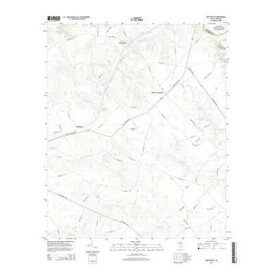
2014 Map of Fort Motte
USGS Topo · Published 2014About this map
Fort Motte sits near the northern edge of this Calhoun County landscape, situated just south of where the Congaree River flows past the Congaree National Park Wilderness. The terrain is defined by a dense network of blackwater creeks and family-named ponds, including Halfway Swamp Cr and True Blue Cr, which drain toward the headwaters of Lake Marion in the southeast.
Find a feature on this map
72 named features on this map. Tap any name to fly to it.
Don’t see what you’re looking for? This feature index may not catch every label — zoom into the map to look around manually.
Map Details
Editions of this 2014 Fort Motte Map
This is the sole edition of this map. No revisions or reprints were ever made.
Other maps of this area
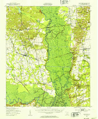
1943 · Eastover
USGS Topo · 1:62,500
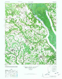
1946 · Elloree
USGS Topo · 1:62,500
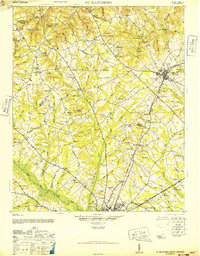
1946 · St. Matthews
USGS Topo · 1:62,500
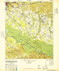
1948 · Hopkins
USGS Topo · 1:62,500
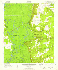
1953 · Poinsett State Park
USGS Topo · 1:24,000
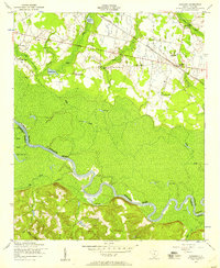
1953 · Gadsden
USGS Topo · 1:24,000
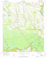
1953 · Wateree
USGS Topo · 1:24,000

1954 · Augusta
USGS Topo · 1:250,000
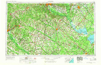
1957 · Augusta
USGS Topo · 1:250,000
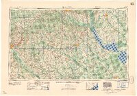
1958 · Augusta
USGS Topo · 1:250,000