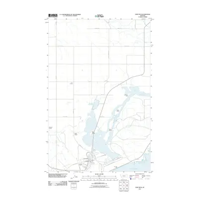
2011 Map of Fort Peck
USGS Topo · Published 2011About this map
The Missouri River and its massive impoundment at Fort Peck Lake dominate this Montana landscape, showing the complex interaction between water management and local settlement. The massive Fort Peck Dam serves as the focal point for the community of Fort Peck, which includes established civic sites like the Fort Peck Post Office and Fort Peck Vol Fire Dept. This area, once a center of intense New Deal-era construction, is documented here with its grid of residential streets including W Kansas Ave and Sioux St.
Find a feature on this map
42 named features on this map. Tap any name to fly to it.
Don’t see what you’re looking for? This feature index may not catch every label — zoom into the map to look around manually.
Map Details
Editions of this 2011 Fort Peck Map
This is the sole edition of this map. No revisions or reprints were ever made.
Other maps of this area

1914 · Nashua
USGS Topo · 1:62,500

1916 · Nashua
USGS Topo · 1:62,500

1943 · Glasgow
USGS Topo · 1:125,000

1954 · Jordan
USGS Topo · 1:250,000

1954 · Glasgow
USGS Topo · 1:250,000

1956 · Jordan
USGS Topo · 1:250,000

1957 · Glasgow
USGS Topo · 1:250,000

1958 · Glasgow
USGS Topo · 1:250,000

1958 · Jordan
USGS Topo · 1:250,000

1958 · Wheeler
USGS Topo · 1:24,000