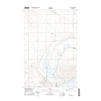
2017 Map of Fort Peck
USGS Topo · Published 2017About this map
Park Grove and the town of Fort Peck occupy a strategic landscape where the Missouri River meets the massive engineering of the Fort Peck Lake reservoir system. The local geography is defined by the transition from the river valley to the surrounding plateaus, marked by features such as Tiger Butte and the northern reaches of McCone Co across the water. A dense network of local roads including Galpin Rd and Tiger Butte Rd provides access to the scattered settlements and the Fort Peck Airport.
Find a feature on this map
52 named features on this map. Tap any name to fly to it.
Don’t see what you’re looking for? This feature index may not catch every label — zoom into the map to look around manually.
Map Details
Editions of this 2017 Fort Peck Map
This is the sole edition of this map. No revisions or reprints were ever made.
Other maps of this area

1914 · Nashua
USGS Topo · 1:62,500

1916 · Nashua
USGS Topo · 1:62,500

1943 · Glasgow
USGS Topo · 1:125,000

1954 · Jordan
USGS Topo · 1:250,000

1954 · Glasgow
USGS Topo · 1:250,000

1956 · Jordan
USGS Topo · 1:250,000

1957 · Glasgow
USGS Topo · 1:250,000

1958 · Glasgow
USGS Topo · 1:250,000

1958 · Jordan
USGS Topo · 1:250,000

1958 · Wheeler
USGS Topo · 1:24,000