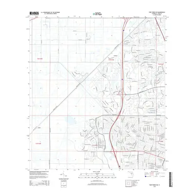
2015 Map of Fort Pierce SW
USGS Topo · Published 2015About this map
Port Saint Lucie's suburban expansion is meticulously documented in this 2015 survey, which captures the region's transition from traditional citrus groves and rangeland to a modern residential landscape. Central to the area's development is the extensive network of master-planned communities defined by major thoroughfares like St Lucie W Blvd and Crosstown Pky. The map highlights the contrast between the established settlements of Carlton and Cana and the newer developments emerging south of Glades Cut Off Rd.
Find a feature on this map
22 named features on this map. Tap any name to fly to it.
Don’t see what you’re looking for? This feature index may not catch every label — zoom into the map to look around manually.
Map Details
Editions of this 2015 Fort Pierce SW Map
This is the sole edition of this map. No revisions or reprints were ever made.
Other maps of this area

1948 · Palm City
USGS Topo · 1:24,000

1948 · Ankona
USGS Topo · 1:24,000

1949 · Fort Pierce
USGS Topo · 1:24,000

1949 · Fort Pierce NW
USGS Topo · 1:24,000

1950 · Ankona
USGS Topo · 1:24,000

1950 · Fort Pierce
USGS Topo · 1:24,000

1950 · Palm City
USGS Topo · 1:24,000

1950 · Fort Pierce NW
USGS Topo · 1:24,000

1953 · Okeechobee 1 SE
USGS Topo · 1:24,000

1953 · Okeechobee 4 NE
USGS Topo · 1:24,000