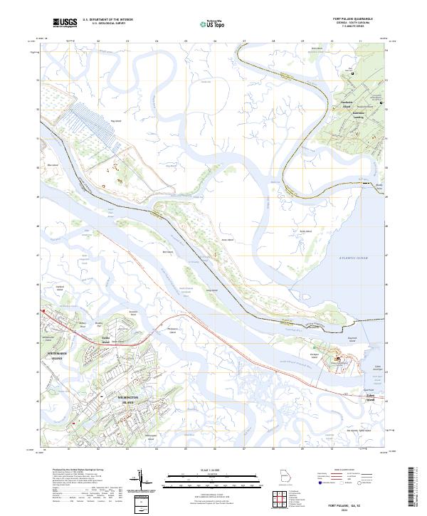
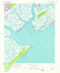
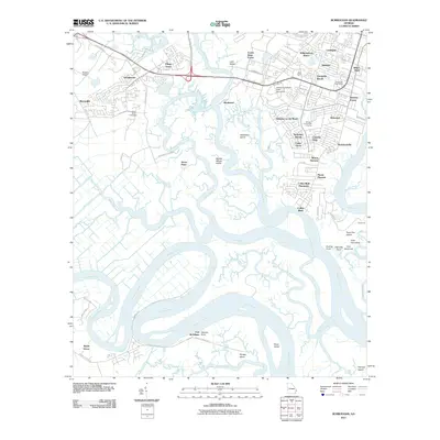
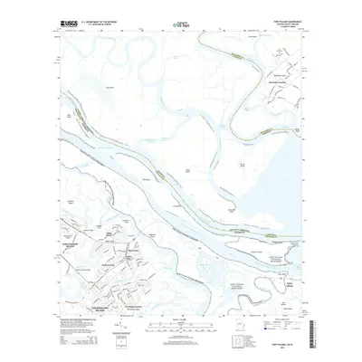
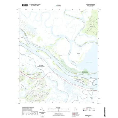
2024 Map of Fort Pulaski
USGS Topo · Published 2024About this map
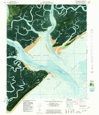
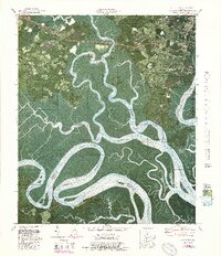
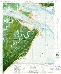
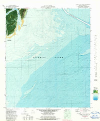
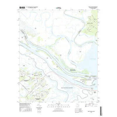
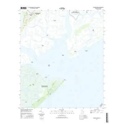
Fort Pulaski National Monument commands the mouth of the Savannah River, marking a site of immense strategic importance where Georgia and South Carolina meet. This modern survey illustrates the complex marshland geography of Cockspur Island and McQueens Island, where the Fort Pulaski Prisoner Burial Ground remains a somber landmark of the Civil War era. The map also captures the distinct character of Daufuskie Island, reachable only by water via Daufuskie Landing.
Find a feature on this map
120 named features on this map. Tap any name to fly to it.
Don’t see what you’re looking for? This feature index may not catch every label — zoom into the map to look around manually.
Map Details
Editions of this 2024 Fort Pulaski Map
This is the sole edition of this map. No revisions or reprints were ever made.
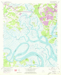
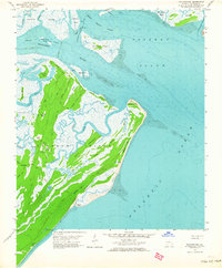
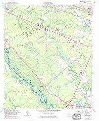
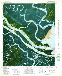
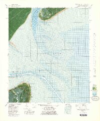
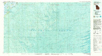
Historical Maps of Wilmington Island Through Time
59 maps found

1944 Ossabaw Island
Chatham County, GA

1945 Ossabaw Island
Chatham County, GA
1957 Burroughs
Chatham County, GA
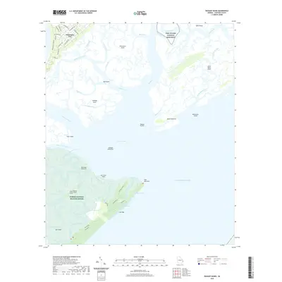
1957 Raccoon Key
Chatham County, GA
1957 Savannah Beach South
Chatham County, GA
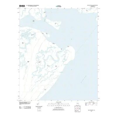
1957 Wassaw Sound
Chatham County, GA
1958 Meldrim SE
Chatham County, GA
1978 Fort Pulaski
Chatham County, GA
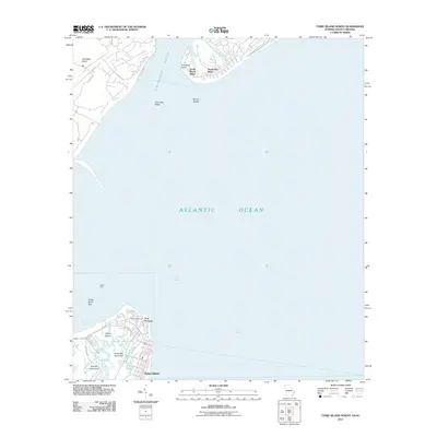
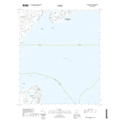
1978 Tybee Island North
Chatham County, GA
1978 Wassaw Sound
Chatham County, GA
1979 Burroughs
Chatham County, GA
1979 Raccoon Key
Chatham County, GA
1979 Tybee Island South
Chatham County, GA
1980 Wassaw Sound
Chatham County, GA
2011 Burroughs
Chatham County, GA
2011 Fort Pulaski
Chatham County, GA
2011 Raccoon Key
Chatham County, GA

2011 Raccoon Key OE S
Chatham County, GA
2011 Tybee Island North
Chatham County, GA
2011 Tybee Island South
Chatham County, GA
2011 Wassaw Sound
Chatham County, GA

2011 Wassaw Sound OE S
Chatham County, GA

2012 Meldrim SE
Chatham County, GA
2014 Burroughs
Chatham County, GA
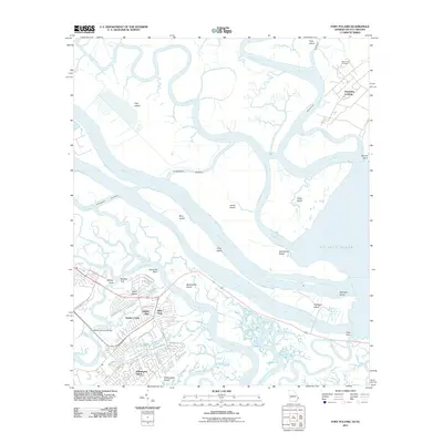
2014 Fort Pulaski
Chatham County, GA
2014 Meldrim SE
Chatham County, GA
2014 Raccoon Key
Chatham County, GA

2014 Raccoon Key OE S
Chatham County, GA
2014 Tybee Island North
Chatham County, GA

2014 Tybee Island South
Chatham County, GA
2014 Wassaw Sound
Chatham County, GA

2014 Wassaw Sound OE S
Chatham County, GA
2017 Burroughs
Chatham County, GA
2017 Fort Pulaski
Chatham County, GA
2017 Meldrim SE
Chatham County, GA
2017 Raccoon Key
Chatham County, GA

2017 Raccoon Key OE S
Chatham County, GA
2017 Tybee Island North
Chatham County, GA
2017 Tybee Island South
Chatham County, GA
2017 Wassaw Sound
Chatham County, GA

2017 Wassaw Sound OE S
Chatham County, GA
2020 Burroughs
Chatham County, GA
2020 Fort Pulaski
Chatham County, GA
2020 Meldrim SE
Chatham County, GA
2020 Raccoon Key
Chatham County, GA

2020 Raccoon Key OE S
Chatham County, GA
2020 Tybee Island North
Chatham County, GA

2020 Tybee Island South
Chatham County, GA
2020 Wassaw Sound
Chatham County, GA

2020 Wassaw Sound OE S
Chatham County, GA
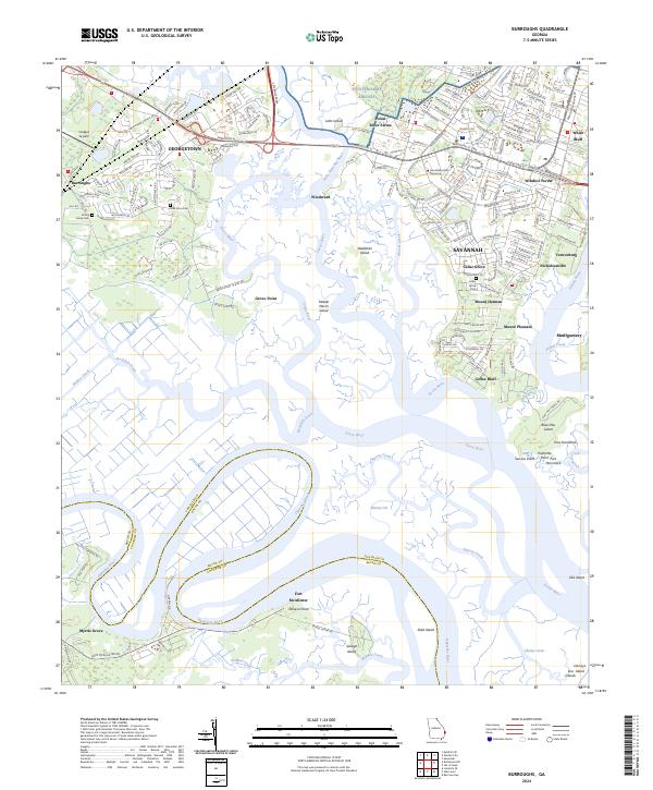
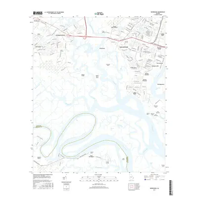
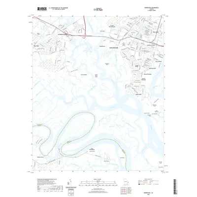
2024 Burroughs
Chatham County, GA
2024 Fort Pulaski
Chatham County, GA
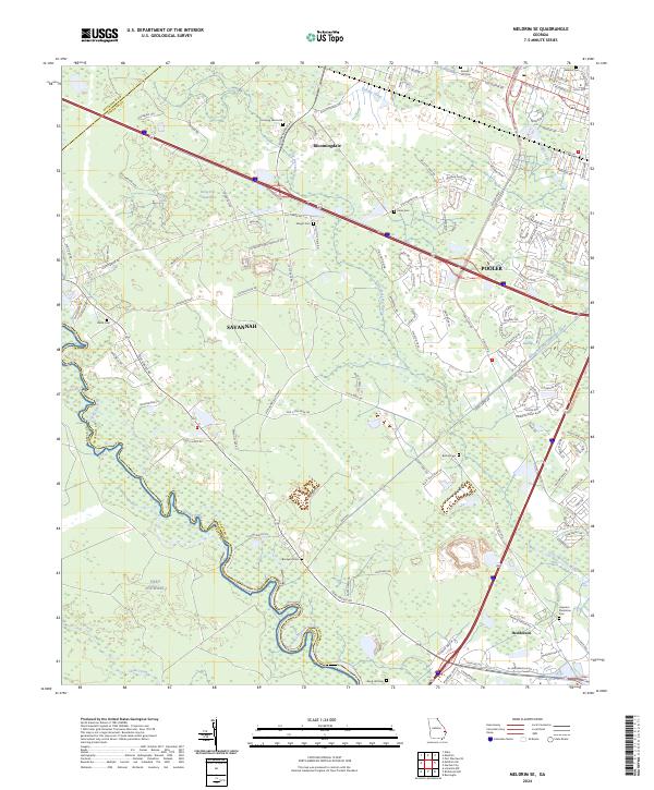
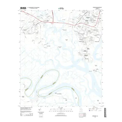
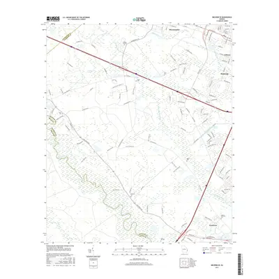
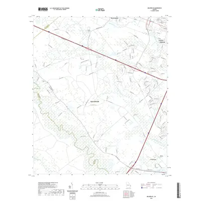
2024 Meldrim SE
Chatham County, GA
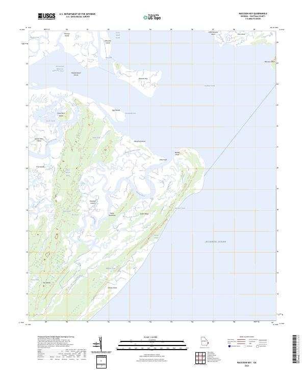
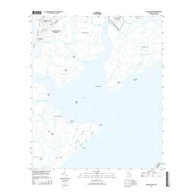
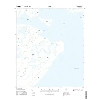
2024 Raccoon Key
Chatham County, GA
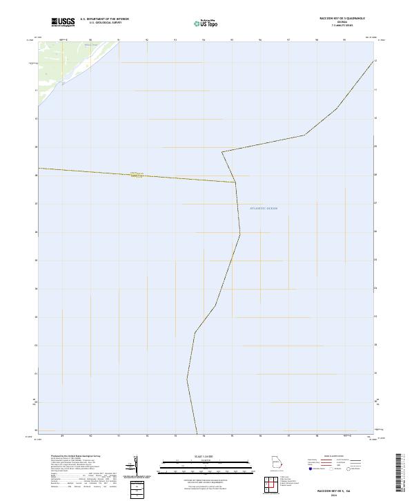
2024 Raccoon Key OE S
Chatham County, GA
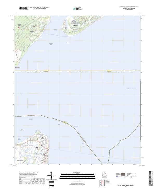
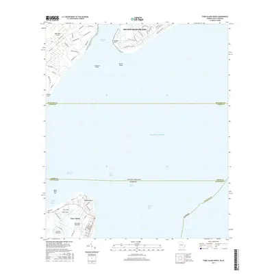
2024 Tybee Island North
Chatham County, GA
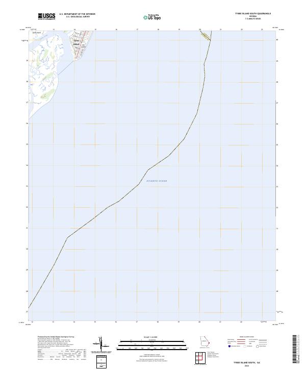
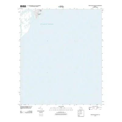
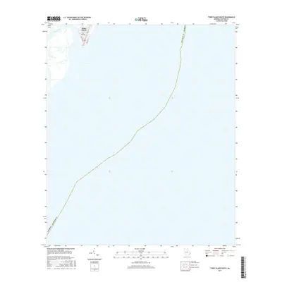
2024 Tybee Island South
Chatham County, GA
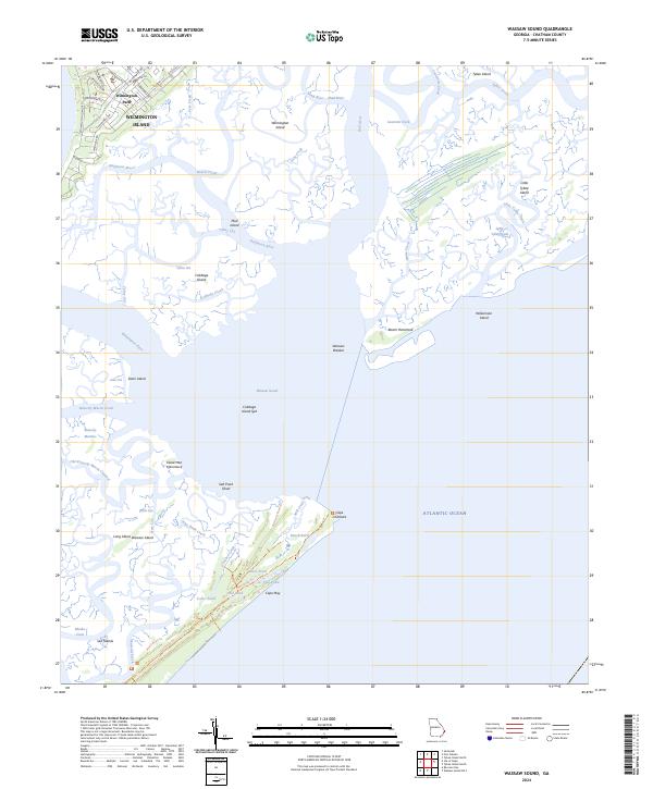
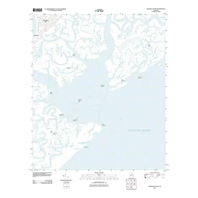
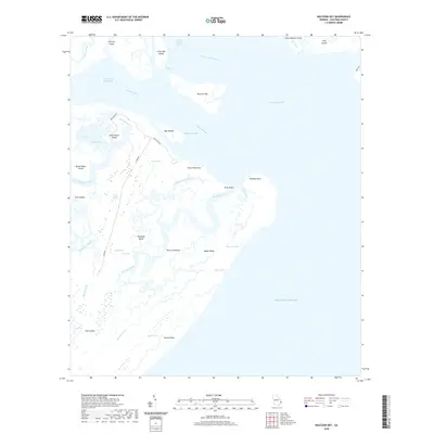
2024 Wassaw Sound
Chatham County, GA
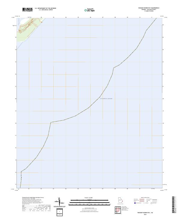
2024 Wassaw Sound OE S
Chatham County, GA