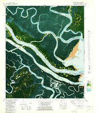
1978 Map of Fort Pulaski
USGS Topo · Published 1978About this map
Fort Pulaski National Monument stands as a central historical landmark at the mouth of the Savannah River, marking a landscape defined by the shifting coastal waters of Georgia and South Carolina. This 1970s orthophotomap captures a complex network of marshlands and maritime navigation routes where the Intracoastal Waterway threads through the Wright River and New River. Traces of earlier transportation infrastructure are visible in the Old Railroad Grade cutting across Whitemarsh Island and the managed channels of Watts Cut and Fields Cut.
Find a feature on this map
42 named features on this map. Tap any name to fly to it.
Don’t see what you’re looking for? This feature index may not catch every label — zoom into the map to look around manually.
Map Details
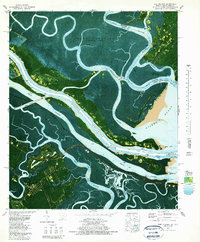
Editions of this 1978 Fort Pulaski Map
2 editions found
Other maps of this area

1920 · Wassaw Sound
USGS Topo · 1:62,500

1920 · Bluffton
USGS Topo · 1:62,500

1942 · Savannah
USGS Topo · 1:62,500

1944 · Ossabaw Island
USGS Topo · 1:62,500

1945 · Bluffton
USGS Topo · 1:62,500

1945 · Ossabaw Island
USGS Topo · 1:62,500

1945 · Wassaw Sound
USGS Topo · 1:62,500

1946 · Brunswick
USGS Topo · 1:250,000

1947 · Savannah
USGS Topo · 1:250,000

1948 · Brunswick
USGS Topo · 1:250,000