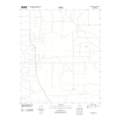
2010 Map of Fort Ranch
USGS Topo · Published 2010About this map
Saunders Oil Field and the Saunders East Oil Field define the economic character of this corner of Lea County, where a grid of service roads supports the regional energy industry. The landscape is marked by industrial operations and ranching interests, notably the Etcheverry Ranch in the southern portion of the quadrangle. Transport and infrastructure are centered on local routes like County Rd-108 and County Rd-117, which connect the oil fields with broader regional networks. Further landmarks include State Fort Pit and the area labeled Anderson, reflecting the mix of public lands, industrial pits, and named family sites that characterize this high plains territory in the early twenty-first century.
Find a feature on this map
7 named features on this map. Tap any name to fly to it.
Don’t see what you’re looking for? This feature index may not catch every label — zoom into the map to look around manually.
Map Details
Editions of this 2010 Fort Ranch Map
This is the sole edition of this map. No revisions or reprints were ever made.
Other maps of this area

1954 · Hobbs
USGS Topo · 1:250,000

1954 · Brownfield
USGS Topo · 1:250,000

1958 · Brownfield
USGS Topo · 1:250,000

1958 · Hobbs
USGS Topo · 1:250,000

1962 · Brownfield
USGS Topo · 1:250,000

1962 · Lovington
USGS Topo · 1:62,500

1962 · Buckeye
USGS Topo · 1:62,500

1970 · Alston Ranch
USGS Topo · 1:24,000

1970 · Hillburn City SW
USGS Topo · 1:24,000

1973 · Fort Ranch
USGS Topo · 1:24,000