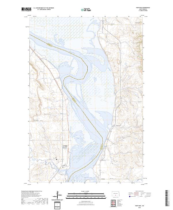
2024 Map of Fort Rice
USGS Topo · Published 2024About this map
The Missouri River dominates this landscape on the border of Morton and Emmons Counties, its waters widening into Lake Oahe across a terrain marked by distinctive bluffs and drainages. The settlement of Fort Rice sits on the western bank, serving as a focal point for local history along with the nearby Fort Rice Cem and Saint Marys Cem. These sites, along with the small community of Livona to the southeast, trace the long-standing footprint of human habitation in this river valley.
Find a feature on this map
33 named features on this map. Tap any name to fly to it.
Don’t see what you’re looking for? This feature index may not catch every label — zoom into the map to look around manually.
Map Details
Editions of this 2024 Fort Rice Map
This is the sole edition of this map. No revisions or reprints were ever made.
Other maps of this area

1907 · Bismarck
USGS Topo · 1:125,000

1954 · Bismarck
USGS Topo · 1:250,000

1958 · Bismarck
USGS Topo · 1:250,000

1962 · Sugarloaf Butte
USGS Topo · 1:24,000

1968 · Cannon Ball
USGS Topo · 1:24,000

1968 · Cannon Ball NW
USGS Topo · 1:24,000

1971 · Moffit SW
USGS Topo · 1:24,000

1971 · Huff
USGS Topo · 1:24,000

1971 · Fort Rice
USGS Topo · 1:24,000

1971 · Huff NE
USGS Topo · 1:24,000