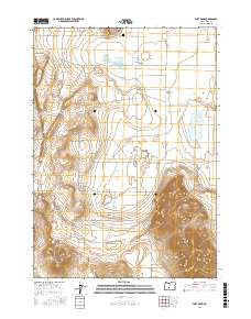
2017 Map of Fort Rock
USGS Topo · Published 2017About this map
Fort Rock rises dramatically from the basin floor, serving as the dominant geological anchor for this high-desert landscape. The small settlement of Fort Rock and the nearby Fort Rock Cem sit just south of this volcanic landmark, marking a pocket of habitation within the expansive Fort Rock Valley. The terrain here is defined by stark contrasts, from the flat lakebeds of Beasley Lake and Morehouse Lake to the prominent rising forms of Spike Butte and Coyote Butte. To the southeast, the Connley Hills provide a complex topographic boundary to the valley floor. The map documents a sparse network of county roads and lanes, such as Co HWY 5-11 and Connely Ln, which navigate the grid-based land divisions. This 2017 survey illustrates the enduring patterns of settlement and geography in a region where water sources and volcanic landmarks have shaped human presence for generations.
Find a feature on this map
31 named features on this map. Tap any name to fly to it.
Don’t see what you’re looking for? This feature index may not catch every label — zoom into the map to look around manually.
Map Details
Editions of this 2017 Fort Rock Map
This is the sole edition of this map. No revisions or reprints were ever made.
Other maps of this area

1955 · Crescent
USGS Topo · 1:250,000

1957 · Crescent
USGS Topo · 1:250,000

1958 · Crescent
USGS Topo · 1:250,000

1968 · Silver Lake
USGS Topo · 1:24,000

1968 · Oatman Flat
USGS Topo · 1:24,000

1970 · Crescent
USGS Topo · 1:250,000

1979 · Crescent
USGS Topo · 1:100,000

1981 · Cougar Mtn
USGS Topo · 1:24,000
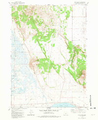
1981 · Tuff Butte
USGS Topo · 1:24,000
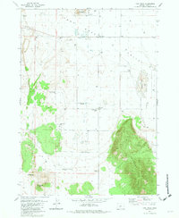
1981 · Fort Rock
USGS Topo · 1:24,000