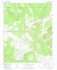
1980 Map of Fort Rock Ranch
USGS Topo · Published 1985About this map
Fort Rock Ranch and the surrounding high desert of the Mohave and Yavapai county line are documented here during the late 1970s. This landscape is defined by its water management and ranching infrastructure, evidenced by a network of tanks and wells such as Esther Well and the Carl F Well. The map captures an era of remote habitation and utility, where a Landing Strip and Radio Tower provide modern connections to a terrain otherwise marked by old trails and jeep trails.
Find a feature on this map
35 named features on this map. Tap any name to fly to it.
Don’t see what you’re looking for? This feature index may not catch every label — zoom into the map to look around manually.
Map Details
Editions of this 1980 Fort Rock Ranch Map
2 editions found
Other maps of this area

1886 · Diamond Creek
USGS Topo · 1:250,000

1892 · Diamond Creek
USGS Topo · 1:250,000

1948 · Williams
USGS Topo · 1:250,000

1954 · Williams
USGS Topo · 1:250,000

1956 · Williams
USGS Topo · 1:250,000

1960 · Williams
USGS Topo · 1:250,000

1961 · Williams
USGS Topo · 1:250,000
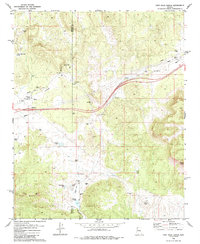
1980 · Fort Rock Ranch
USGS Topo · 1:24,000
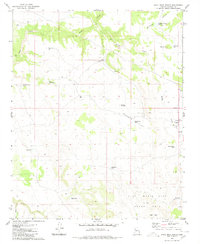
1980 · Anvil Rock Ranch
USGS Topo · 1:24,000
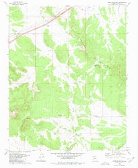
1980 · Cross Mountain
USGS Topo · 1:24,000