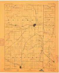
1893 Map of Fort Scott
USGS Topo · Published 1910About this map
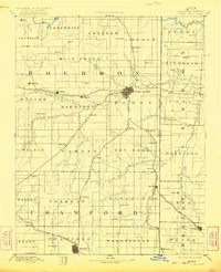
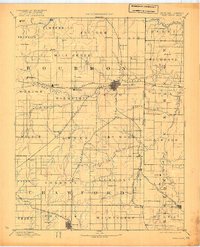
Fort Scott serves as the dominant hub in this late 19th-century reconnaissance of the Kansas-Missouri borderlands. The landscape is defined by its early rail connectivity, with the St Louis and San Francisco Railroad and the Kansas City Ft Scott and Gulf Railroad crisscrossing through Bourbon and Crawford counties. These lines supported a network of small agricultural and mining outposts such as Gilfillan, Hiattville, and Farlington. The topography transitions from the drainage basins of the Little Osage River and the Marmaton River in the north to the rolling elevation of Timber Hill. This survey captures the region before many smaller settlements like Zenia (Hay) or Paint Creek saw their local influence wane, preserving the location of original township boundaries and early water crossings like those along Dry Wood Creek.
Find a feature on this map
79 named features on this map. Tap any name to fly to it.
Don’t see what you’re looking for? This feature index may not catch every label — zoom into the map to look around manually.
Map Details
Editions of this 1893 Fort Scott Map
7 editions found

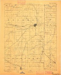
Other maps of this area

1884 · Fort Scott
USGS Topo · 1:125,000

1885 · Garnett
USGS Topo · 1:125,000

1886 · Nevada
USGS Topo · 1:125,000

1886 · Joplin
USGS Topo · 1:125,000

1886 · Iola
USGS Topo · 1:125,000

1886 · Fort Scott
USGS Topo · 1:125,000

1886 · Carthage
USGS Topo · 1:125,000

1886 · Parsons
USGS Topo · 1:125,000

1887 · Butler
USGS Topo · 1:125,000

1887 · Mound City
USGS Topo · 1:125,000