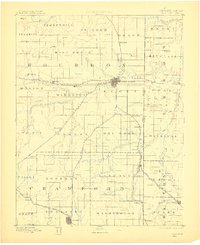
1893 Map of Fort Scott
USGS Topo · Published 1910About this map
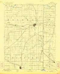
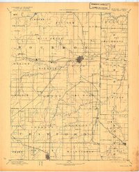
Fort Scott serves as the regional nexus of this late 19th-century landscape, where multiple rail lines converge along the Marmaton River. The geography is defined by a dense network of early settlements and rural townships, reflecting the peak of the agrarian and early industrial boom in eastern Kansas. To the north, the Little Osage River meanders through Henry and Osage townships, while the southern portion of the sheet is marked by the burgeoning mining and rail activity near Coalvale and Arcadia. Key transit corridors like the Kansas City Ft Scott and Gulf Railroad and the Missouri Pacific Railroad illustrate the vital connections between small prairie outposts like Hiattville, Uniontown, and Hepler. The map also clearly delineates the Kansas Missouri Boundary Line, showing the relationship between border communities such as Deerfield and Eve at a time of significant westward expansion.
Find a feature on this map
73 named features on this map. Tap any name to fly to it.
Don’t see what you’re looking for? This feature index may not catch every label — zoom into the map to look around manually.
Map Details
Editions of this 1893 Fort Scott Map
7 editions found

Other maps of this area

1884 · Fort Scott
USGS Topo · 1:125,000

1885 · Garnett
USGS Topo · 1:125,000

1886 · Nevada
USGS Topo · 1:125,000

1886 · Joplin
USGS Topo · 1:125,000

1886 · Iola
USGS Topo · 1:125,000

1886 · Fort Scott
USGS Topo · 1:125,000

1886 · Carthage
USGS Topo · 1:125,000

1886 · Parsons
USGS Topo · 1:125,000

1887 · Butler
USGS Topo · 1:125,000

1887 · Mound City
USGS Topo · 1:125,000