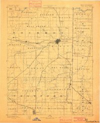
1893 Map of Fort Scott
USGS Topo · Published 1900About this map
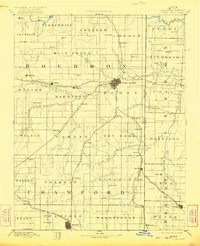
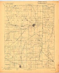
Fort Scott serves as the central hub of this late nineteenth-century landscape, where the confluence of major rail lines and waterways defined the region's early growth. The St Louis Ft Scott and Wichita Railroad and the Kansas City Ft Scott and Gulf Railroad intersect here, illustrating the town's importance as a transportation gateway near the Kansas Missouri Boundary Line. Beyond the urban center, the terrain is shaped by the Marmaton River and its tributaries, supporting a network of small agricultural and mining outposts.
Find a feature on this map
74 named features on this map. Tap any name to fly to it.
Don’t see what you’re looking for? This feature index may not catch every label — zoom into the map to look around manually.
Map Details
Editions of this 1893 Fort Scott Map
7 editions found

Other maps of this area

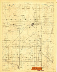
1884 · Fort Scott
USGS Topo · 1:125,000

1885 · Garnett
USGS Topo · 1:125,000

1886 · Nevada
USGS Topo · 1:125,000

1886 · Joplin
USGS Topo · 1:125,000

1886 · Iola
USGS Topo · 1:125,000

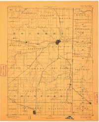
1886 · Fort Scott
USGS Topo · 1:125,000

1886 · Carthage
USGS Topo · 1:125,000

1886 · Parsons
USGS Topo · 1:125,000

1887 · Butler
USGS Topo · 1:125,000

1887 · Mound City
USGS Topo · 1:125,000