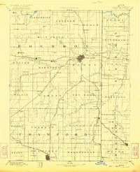
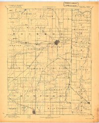
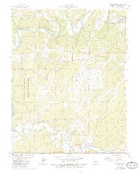
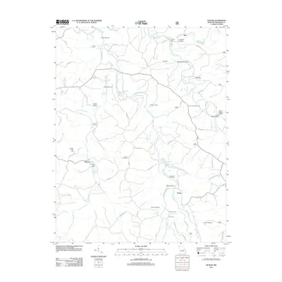
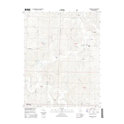
1893 Map of Ft Scott
USGS Topo · Published 1900About this map
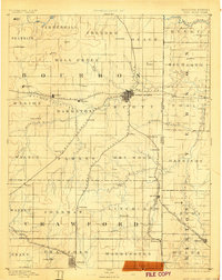
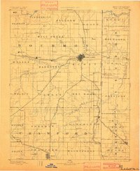
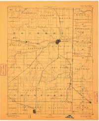
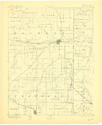
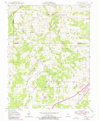
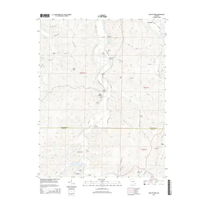
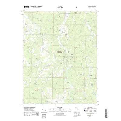
Fort Scott serves as the central hub of this late 19th-century landscape, where a dense network of iron rails converges. The map documents a critical period of expansion for Southeast Kansas and Western Missouri, illustrating how the St Louis Ft Scott and Wichita Railroad and the Kansas City Ft Scott and Gulf Railroad dictated the placement of emerging townships. The Marmaton River and Little Osage River cut eastward across the plains, providing the natural drainage that defined early land tracts. Smaller agricultural settlements and rail stops such as Hiattville, Hepler, and Arcadia are positioned along these corridors. Notable for genealogists, the map also identifies more obscure locales like Zenia (Hay) and Gilfillan, offering a clear view of the Kansas Missouri Boundary Line as it existed before the turn of the century.
Find a feature on this map
74 named features on this map. Tap any name to fly to it.
Don’t see what you’re looking for? This feature index may not catch every label — zoom into the map to look around manually.
Map Details
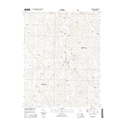
Editions of this 1893 Ft Scott Map
7 editions found

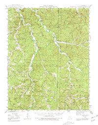
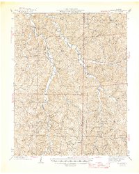
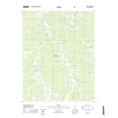
Historical Maps of Fort Scott Through Time
45 maps found
1943 Berryman
Crawford County, MO
1945 Berryman
Crawford County, MO
1948 Argo
Crawford County, MO
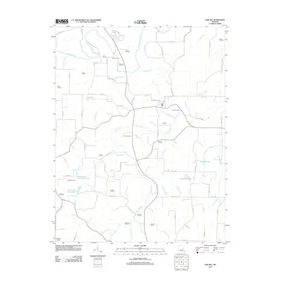
1948 Oak Hill
Crawford County, MO
1949 Oak Hill
Crawford County, MO
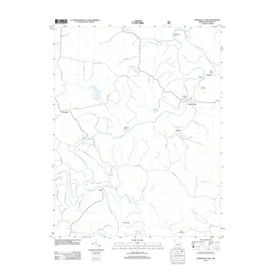
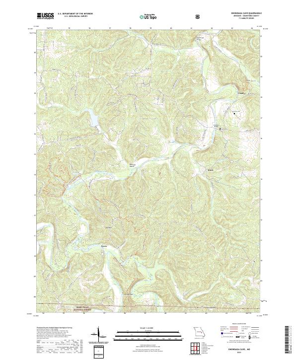
1969 Onondaga Cave
Crawford County, MO
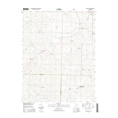
1978 Cherryville
Crawford County, MO
1978 Cook Station
Crawford County, MO
1978 Davisville
Crawford County, MO
1978 Huzzah
Crawford County, MO
1978 Indian Springs
Crawford County, MO
1999 Davisville
Crawford County, MO
1999 Huzzah
Crawford County, MO
2011 Davisville
Crawford County, MO
2011 Huzzah
Crawford County, MO

2011 Indian Springs
Crawford County, MO
2012 Argo
Crawford County, MO
2012 Cherryville
Crawford County, MO
2012 Cook Station
Crawford County, MO
2012 Oak Hill
Crawford County, MO
2012 Onondaga Cave
Crawford County, MO
2015 Argo
Crawford County, MO
2015 Cherryville
Crawford County, MO
2015 Cook Station
Crawford County, MO
2015 Davisville
Crawford County, MO
2015 Huzzah
Crawford County, MO

2015 Indian Springs
Crawford County, MO
2015 Oak Hill
Crawford County, MO
2015 Onondaga Cave
Crawford County, MO
2017 Argo
Crawford County, MO
2017 Cherryville
Crawford County, MO
2017 Cook Station
Crawford County, MO
2017 Davisville
Crawford County, MO
2017 Huzzah
Crawford County, MO
2017 Indian Springs
Crawford County, MO
2017 Oak Hill
Crawford County, MO
2017 Onondaga Cave
Crawford County, MO
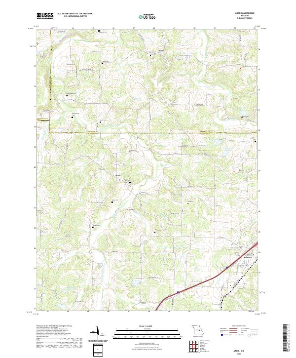
2021 Argo
Crawford County, MO
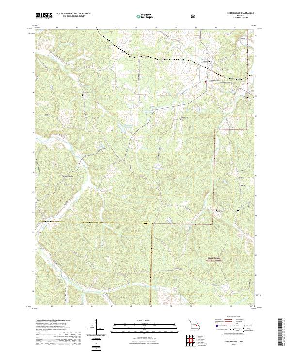
2021 Cherryville
Crawford County, MO
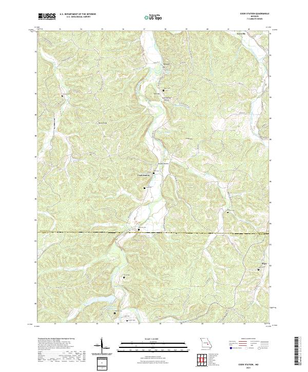
2021 Cook Station
Crawford County, MO
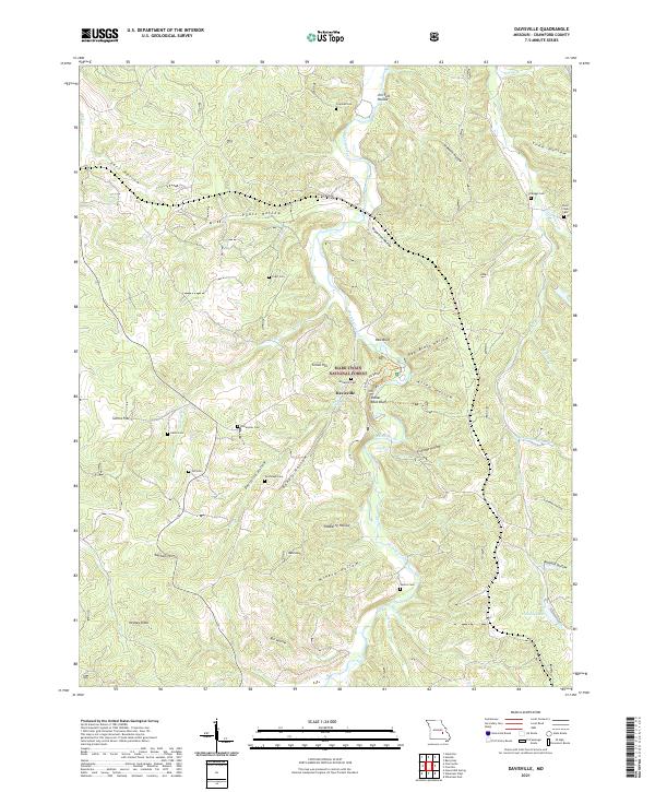
2021 Davisville
Crawford County, MO
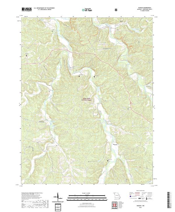
2021 Huzzah
Crawford County, MO
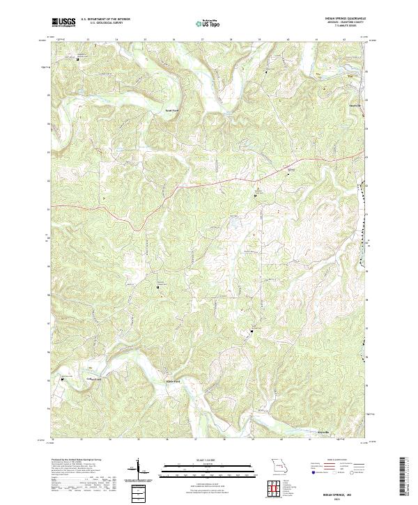
2021 Indian Springs
Crawford County, MO
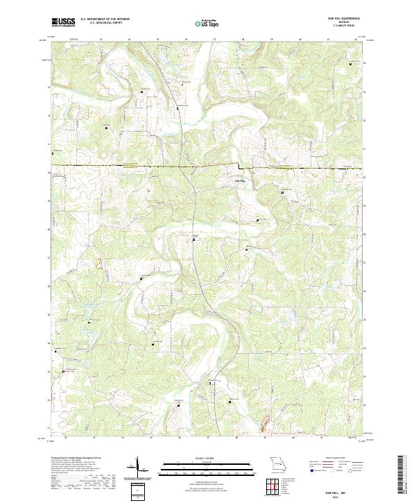
2021 Oak Hill
Crawford County, MO
2021 Onondaga Cave
Crawford County, MO