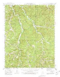
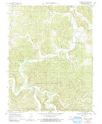
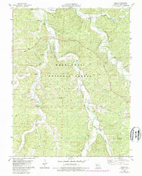
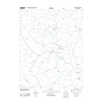
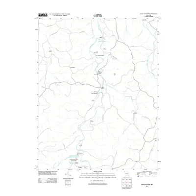
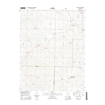
1948 Map of Argo
USGS Topo · Published 1980About this map
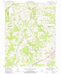
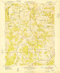
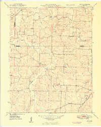
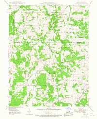
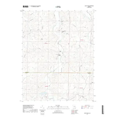
The Little Bourbeuse River and its numerous tributaries, including Logan Branch and Boone Creek, carve through this rural landscape at the intersection of Gasconade, Franklin, and Crawford counties. The small settlement of Japan serves as a local focal point in the north, featuring the Japan Sch and the nearby Old Japan Cem. Further south, the community of Argo sits along the road network connecting these upland farms.
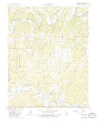
Find a feature on this map
35 named features on this map. Tap any name to fly to it.
Don’t see what you’re looking for? This feature index may not catch every label — zoom into the map to look around manually.
Map Details
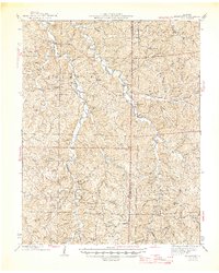
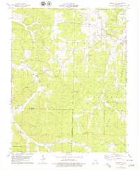
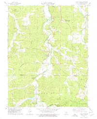
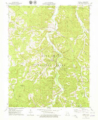
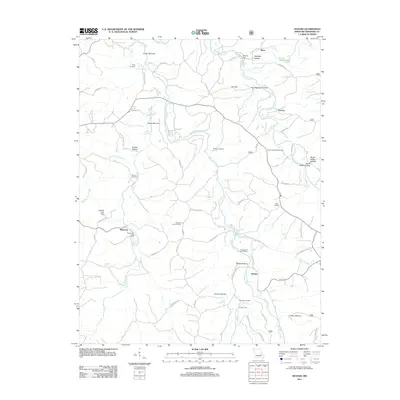
Editions of this 1948 Argo Map
4 editions found
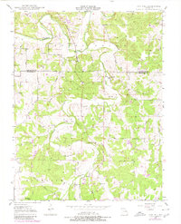
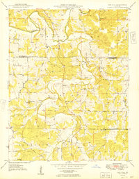
Historical Maps of Bourbon Through Time
45 maps found
1943 Berryman
Crawford County, MO
1945 Berryman
Crawford County, MO
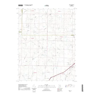
1948 Argo
Crawford County, MO
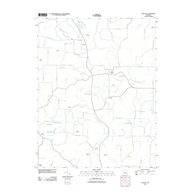
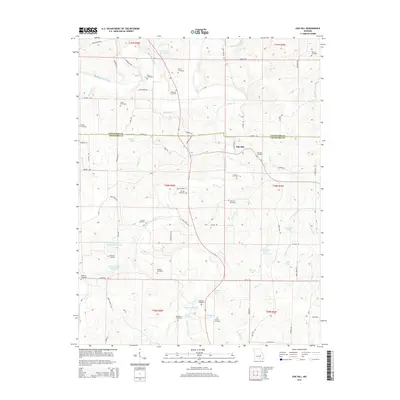
1948 Oak Hill
Crawford County, MO
1949 Oak Hill
Crawford County, MO
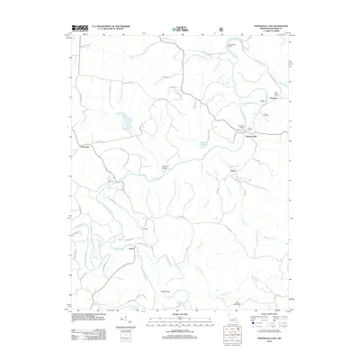
1969 Onondaga Cave
Crawford County, MO
1978 Cherryville
Crawford County, MO
1978 Cook Station
Crawford County, MO
1978 Davisville
Crawford County, MO
1978 Huzzah
Crawford County, MO
1978 Indian Springs
Crawford County, MO
1999 Davisville
Crawford County, MO
1999 Huzzah
Crawford County, MO
2011 Davisville
Crawford County, MO
2011 Huzzah
Crawford County, MO

2011 Indian Springs
Crawford County, MO
2012 Argo
Crawford County, MO
2012 Cherryville
Crawford County, MO
2012 Cook Station
Crawford County, MO
2012 Oak Hill
Crawford County, MO
2012 Onondaga Cave
Crawford County, MO
2015 Argo
Crawford County, MO
2015 Cherryville
Crawford County, MO
2015 Cook Station
Crawford County, MO
2015 Davisville
Crawford County, MO
2015 Huzzah
Crawford County, MO

2015 Indian Springs
Crawford County, MO
2015 Oak Hill
Crawford County, MO
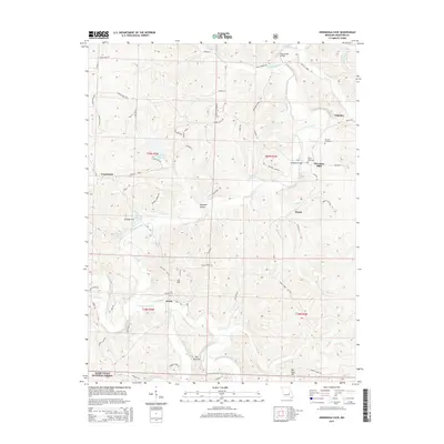
2015 Onondaga Cave
Crawford County, MO
2017 Argo
Crawford County, MO
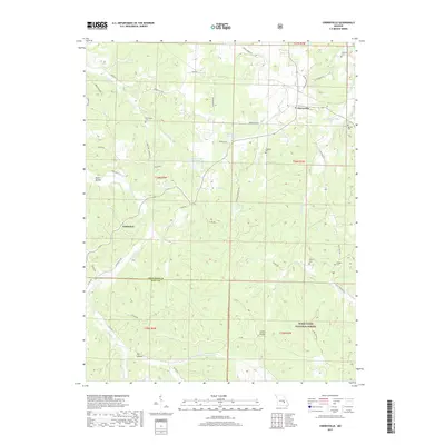
2017 Cherryville
Crawford County, MO
2017 Cook Station
Crawford County, MO
2017 Davisville
Crawford County, MO
2017 Huzzah
Crawford County, MO
2017 Indian Springs
Crawford County, MO
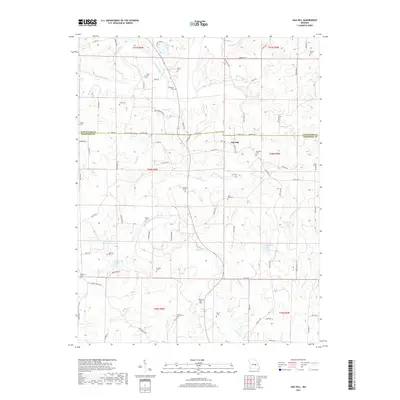
2017 Oak Hill
Crawford County, MO
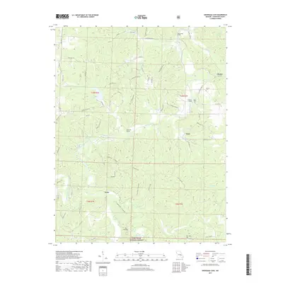
2017 Onondaga Cave
Crawford County, MO
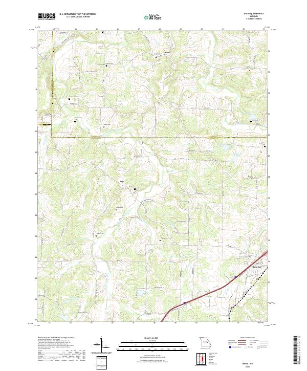
2021 Argo
Crawford County, MO
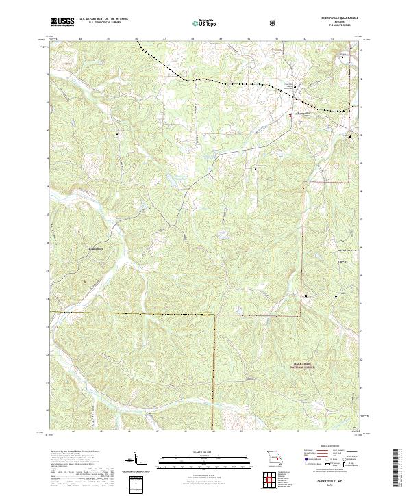
2021 Cherryville
Crawford County, MO
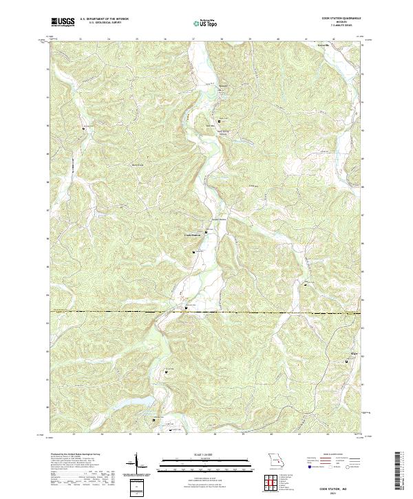
2021 Cook Station
Crawford County, MO
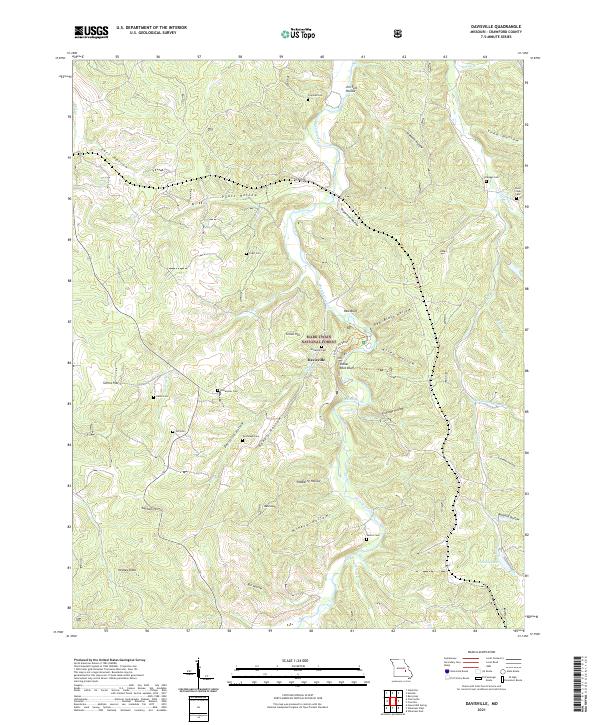
2021 Davisville
Crawford County, MO
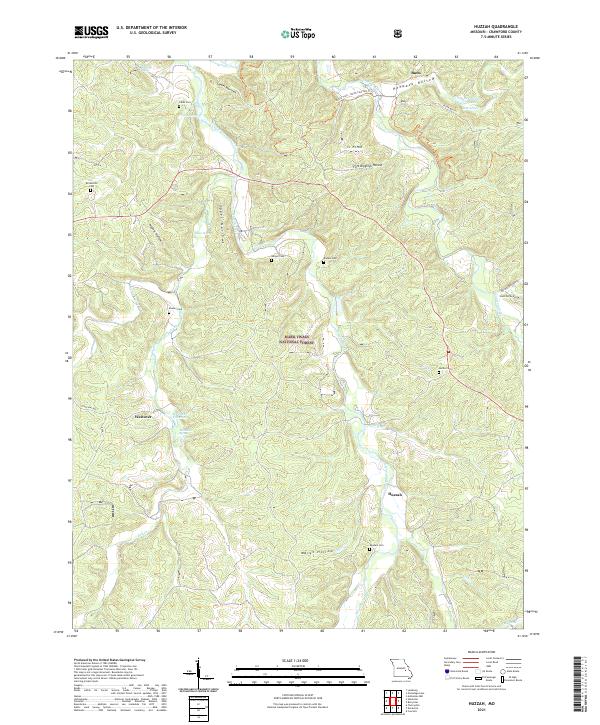
2021 Huzzah
Crawford County, MO
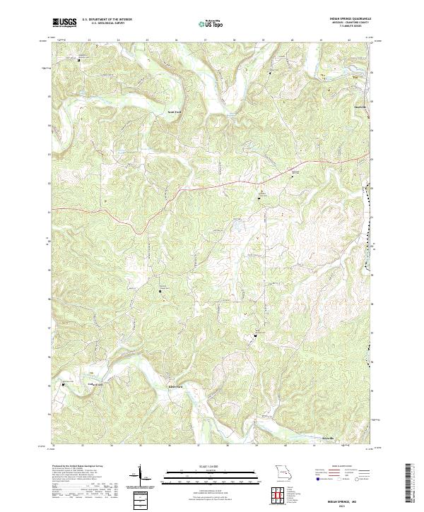
2021 Indian Springs
Crawford County, MO
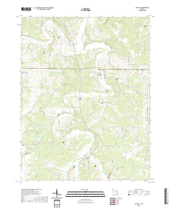
2021 Oak Hill
Crawford County, MO
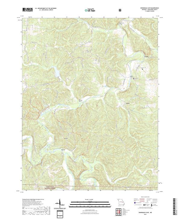
2021 Onondaga Cave
Crawford County, MO