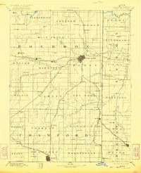
1893 Map of Fort Scott
USGS Topo · Published 1922About this map
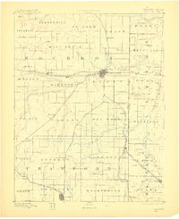
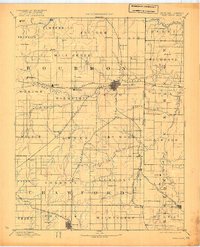
Fort Scott serves as the focal point for this late 19th-century survey of the Southeast Kansas borderlands, where the Kansas City Ft. Scott and Gulf Railroad and Missouri Pacific Railroad intersect to drive the region's economy. The landscape is defined by the drainage basins of the Little Osage River and the Marmaton River, which supported a network of small agricultural and mining outposts. From the northern township of Freedom down to Girard in the south, the map details the early civil organization of Bourbon and Crawford counties. Researchers will find numerous small settlements such as Hiattville, Hepler, and Uniontown, many of which were established as vital shipping points along the expanding St. Louis and San Francisco Railroad. The mapping reflects a period when rail connectivity was the primary determinant for town survival and growth in the Missouri-Kansas border region.
Find a feature on this map
80 named features on this map. Tap any name to fly to it.
Don’t see what you’re looking for? This feature index may not catch every label — zoom into the map to look around manually.
Map Details
Editions of this 1893 Fort Scott Map
7 editions found

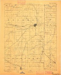
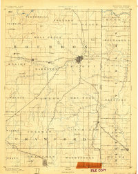
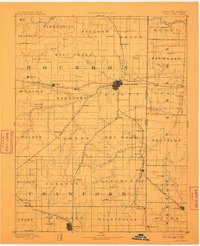
Other maps of this area

1884 · Fort Scott
USGS Topo · 1:125,000

1885 · Garnett
USGS Topo · 1:125,000

1886 · Nevada
USGS Topo · 1:125,000

1886 · Joplin
USGS Topo · 1:125,000

1886 · Iola
USGS Topo · 1:125,000

1886 · Fort Scott
USGS Topo · 1:125,000

1886 · Carthage
USGS Topo · 1:125,000

1886 · Parsons
USGS Topo · 1:125,000

1887 · Butler
USGS Topo · 1:125,000

1887 · Mound City
USGS Topo · 1:125,000