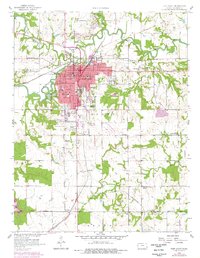
1958 Map of Fort Scott
USGS Topo · Published 1978About this map
Fort Scott serves as a significant hub of education and transit in this late-century update, showcasing the Fort Scott Jr College, Jr High Sch, and Ware Sch alongside the regional Mercy Hospital. The town is defined by its deep historical roots, evident in the National Cemetery and the presence of the Old Indian Bdy to the south. The surrounding landscape of Scott and Drywood townships is marked by the industrial legacy of the St Louis Mine Strip, where numerous Strip Mines follow the coal seams through the terrain.
Find a feature on this map
51 named features on this map. Tap any name to fly to it.
Don’t see what you’re looking for? This feature index may not catch every label — zoom into the map to look around manually.
Map Details
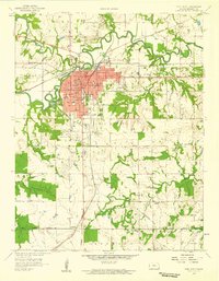
Editions of this 1958 Fort Scott Map
2 editions found
Other maps of this area

1884 · Fort Scott
USGS Topo · 1:125,000

1886 · Fort Scott
USGS Topo · 1:125,000

1893 · Fort Scott
USGS Topo · 1:125,000

1939 · Deerfield
USGS Topo · 1:24,000

1942 · Richards
USGS Topo · 1:24,000

1942 · Deerfield
USGS Topo · 1:24,000

1947 · Joplin
USGS Topo · 1:250,000

1948 · Mulberry
USGS Topo · 1:62,500

1948 · Girard
USGS Topo · 1:62,500
1948 · Garland
USGS Topo · 1:24,000