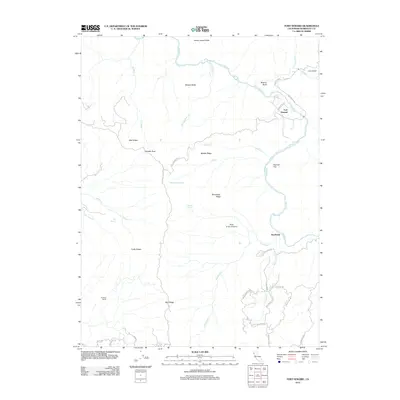
2012 Map of Fort Seward
USGS Topo · Published 2012About this map
The Eel River winds through this Humboldt County landscape, where the small community of Fort Seward serves as a primary point of reference along Railroad Ave. This 2012 survey reveals a complex network of ridges and water sources, including the prominent Mail Ridge and Winchester Ridge. Local hydrology is marked by numerous seasonal and perennial flows such as Steelhead Cr, while specific points like Big Spring, Pepperwood Springs, and Helmke Spring indicate important water access in the higher elevations.
Find a feature on this map
48 named features on this map. Tap any name to fly to it.
Don’t see what you’re looking for? This feature index may not catch every label — zoom into the map to look around manually.
Map Details
Editions of this 2012 Fort Seward Map
This is the sole edition of this map. No revisions or reprints were ever made.
Other maps of this area

1920 · Harris
USGS Topo · 1:62,500

1921 · Dyerville
USGS Topo · 1:62,500

1921 · Briceland
USGS Topo · 1:62,500

1949 · Blocksburg
USGS Topo · 1:62,500

1949 · Alderpoint
USGS Topo · 1:62,500

1949 · Garberville
USGS Topo · 1:62,500

1949 · Weott
USGS Topo · 1:62,500

1951 · Alderpoint
USGS Topo · 1:62,500

1951 · Weott
USGS Topo · 1:62,500

1951 · Garberville
USGS Topo · 1:62,500